
In my post on May 22 this year, I introduced the newest family member for Yokohama’s Citizen Forests, that was Imai-Sakaigi Citizen Forest 今井・境木市民の森. Actually, 5 days before the opening of Imai-Sakaigi Forest, on March 28 another Citizen Forest was open. As Japanese fiscal year starts on April 1st, this forest was technically open in previous fiscal year and older than the Imai-Sakaigi Forest … Never mind the bureaucratic complication about the birth date of a Citizen Forest. This week we visit this forest named Naze-Kamiyabe Citizen Forest 名瀬・上矢部市民の森 of 15.2ha.

 |
| Ryokuen-toshi Station |
Let’s leave Ryokuen-toshi Station from East Exit and take the road to Ferris University. We soon meet a crossing with Ryokuentoshi Entrance Traffic Light 緑園都市駅入口. Turn right here and walk along the campus building of the university on our left. Soon, the row of buildings ends and tennis courts appear. Turn left here and go down a long slope to meet a traffic light named Heizobashi 平蔵橋 at T-crossing. Beyond the crossing in front of us is a forest and a row of houses. Turn right and proceed for about 200m. The road meets with a small river named Naze River 名瀬川. I think it is more fun walking along the river, so let’s leave commuter road and move to a pedestrian way running south bank of the stream parallel to the car road. Ahead of us is an anti-flood pond that is dry when it is fine. This is Naze Retarding Pond 名瀬湧水池. On our right, it is becoming obvious there are another forests. It means the commuter road and Naze River run relatively flat valley. As we’re in Yokohama, lots of new houses stand around us. I guess before this place had rice paddies utilizing water from Naze River. People concreated the place and build houses. The ability for the land to absorb rainwater was down dramatically and the area became flood prone, I imagine. That’s why the City built a retarding pond here ... I think this is a sort of defining thing for the character of this week’s Citizen Forest. So, please remember it, won’t you?
 |
| The road along Ferris University |
 |
| Take this way to Heizobashi traffic light. |
 |
| Turn right. |
 |
| Naze Retarding Pond |
We cross a commuter road and proceed to another retarding pond in front of us that is used as a baseball ground when it is dry. Walk along the south edge of the playground. We eventually enter a small alley along the 4-lane bypass. The end of the passage is a crossing with 4 lane road and a small road to the south. On our left is Lawson Convenience Store. If you have not checked toilet at Ryokuentoshi Station, the Lawson Store is the final point to do the necessary things before entering the forest. Please utilize the chance! We turn right at this crossing, taking a small winding road to the direction of the forest on our right. After 150m or so walking from the crossing we find a small path which looks like a foot path going through veggie fields. Let’s dive in here. In no time, we see a sign saying “Bijin-ga-yato Entrance (in translation, Rice-paddies-valley-for-a-beautiful-lady Entrance) 美人が谷戸.” Welcome to Naze-Kamiyabe Citizen Forest!
 |
| Beyond baseball ground, along the bypass. |
 |
| Turn right here. |
 |
| This way, please. |
 |
| The end of this path is the entrance to Naze-Kamiyabe Citizen Forest. |
 |
| The map of Naze Kamiyabe Citizen Forest |
According to the map above, the area of Naze-Kamiyabe Citizen Forest was once called as a place of 99 valleys for rice paddies (i.e. in Japanese, Yato 谷戸) that were crisscrossed in a complicated way. It means, the majority of the land of the forest is not dry, and some parts could be very wet. The walking route of the forest consists of “main” road that is a ridge way and branch roads going down the former paddies valleys. Bijin-ga-yato Entrance is one of such byways, going slowly up. The road ends with a damp open space, Bijin-ga-yato Open Space 美人が谷戸広場. On the left of the open space there are steps going up steeply. It’s the only way for us to proceed. Let’s follow the direction of the path. The route rapidly goes up to the Chojoh (Summit) Open Space 頂上広場. The place has two nice picnic benches, surrounded by tall deciduous trees. The place is new and not known yet, perhaps. It was quiet place … full of bird songs in late autumn weekend …
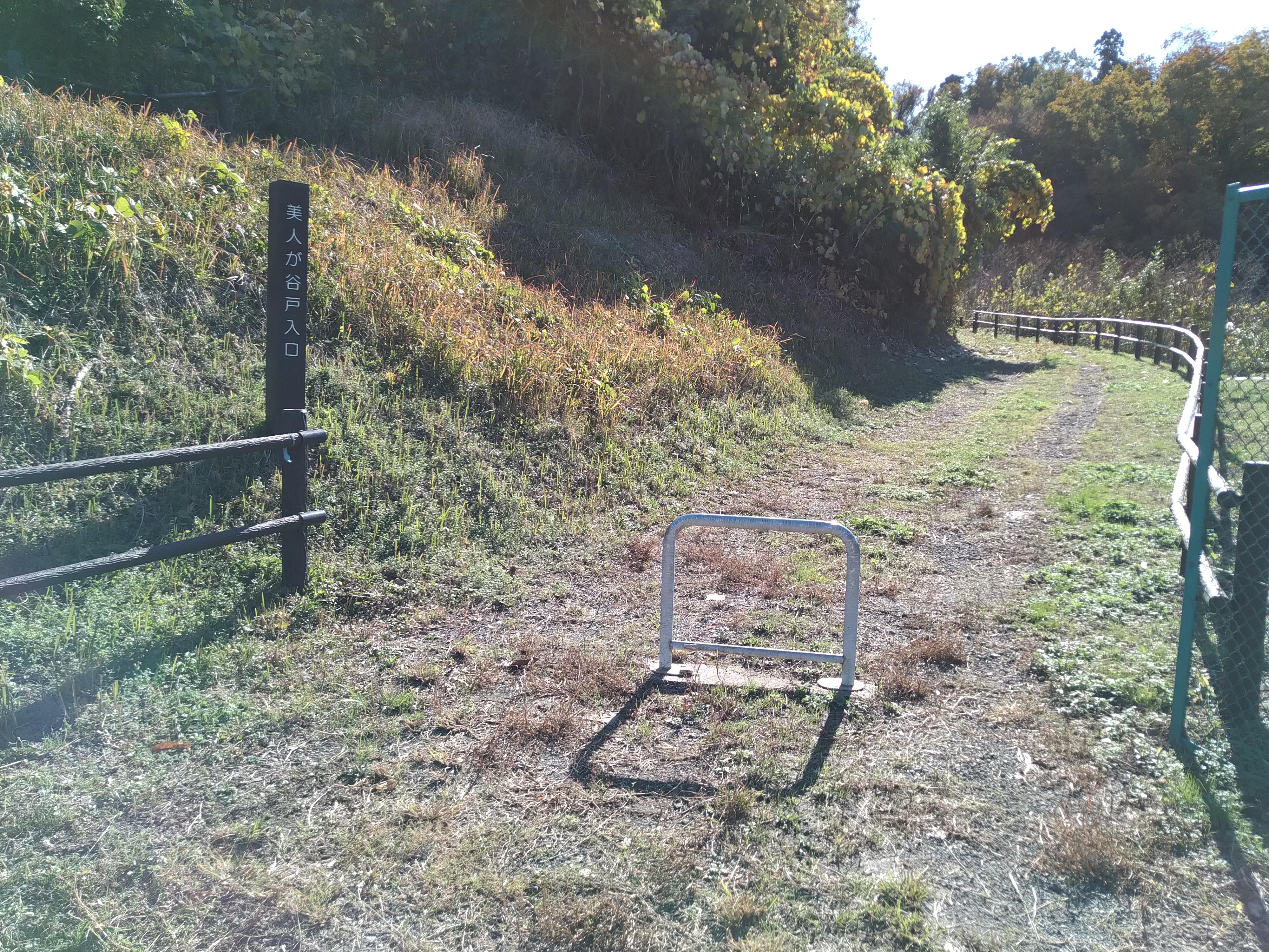 |
| Bijin-ga-yato Entrance |
 |
| Bijin-ga-yato Open Space |
 |
| To the ridge way |
 |
| The entire route has well-built signs here and there. |
 |
| Chojoh (Summit) Open Space |
From Chojoh Open Space, there are 5 directions other than to Bijin-ga-yato Entrance. The “Main Road” is the route running between Acorn Open Space Entrance and West Entrance via Chojoh Open Space. The other 3 branch roads are all short and steep slope to the housing area. To the direction of Acorn Open Space, the forest was often dominated by sasa bamboos and the other evergreen shrubs. The area maintains humid air. The level of underground water could be very high in this part of the hill. Chou-ga-yato Open Space has spaciousness with a picnic bench in the middle. Beneath our shoes we could feel swampy ground. The place could have been rice paddies once … Sky was blue under chilly late fall weekend. I could sense small something was moving on the ground of such places … Occasionally, Japanese bush warblers chirped from the shrubs. Were they communicating with each other?
 |
| To Basho-Yato Entrance |
 |
| Basho Yato has lots of Japanese ginger. The place must have been a productive farm land once … |
 |
| A tunnel of sasa bamboos |
 |
| To Acorn Open Space. This was the place for bush warblers to chat. |
 |
| To the North Entrance |
 |
| Acorn Open Space. The place has picnic bench. When I’ve been there, it was occupied by a gentleman reading book with a cup of coffee. |
 |
| Chou-ga-yato Open Space |
From Chojoh Open Space to the West Entrance, I guess it is the only area that is relatively dry The route is lined with afforested conifers and oaks. The fallen leaves rustled quietly as I went. I found it very comforting. I met several colonies of Carpesium divaricatum. From the ridge way to the West Entrance is a rapid decline with steps. I left the forest from here. After navigating the housing area for 5 minutes or so, we will meet another river called Akuwa River 阿久和川. The road running along the river is Prefectural Road 401 that has stops for commuter bus services to Higashi-totsuka and Yayoidai Stations. The river has nice pedestrian paths for both banks。Let’s walk to Yayoidai Station of Izumino Line.
 |
| To the West Exit |
 |
| Carpesium divaricatum |
 |
| The road is rapidly going down to |
 |
| The housing area |
 |
| Akuwa River |
 |
| This bus is to Higashi-totsuka Station. |
The community spreading along Akuwa River is the old and famous one called Okazu Village 岡津. It was governed by Hikosaka Motomasa 彦坂元正, a samurai-mandarin who during the early 17th century established the bureaucratic structure of Tokugawa Shogunate Government. His manor house once stood at the place now for Okazu Elementary. After enjoying a relaxed stroll along a stream, we meet with a wide Prefectural Road 218 over the bridge. We can proceed further along the river to Yayoidai Station, but I suggest this time choosing a busy commuter road with lots of cars and turn left here. Reason? Just before the Yayoidai Station Entrance traffic light, there is a bakery Beckerei Ton Garten. We can purchase authentic German bread here, and regular French versions. Theirs is DE-LI-CI-OUS. 😊 Please try.
 |
| Nice strolling path |
 |
| Turn left here. |
 |
| Along Prefectural Road 218, there is another retarding pond cum community garden. This time it is for the flood of Akuwa River. |
 |
| Beckerei Ton Garten |
If you find a problem in the greenery of north-half of Yokohama, please make a contact with
Office for the Park Greeneries in the North
北部公園緑地事務所
Yokohama Municipal Government Creative Environment Policy Bureau
横浜市環境創造局
Phone: 045-311-2016
FAX: 045-316-8420
No comments:
Post a Comment