 |
| The beginning of Route 737 is like this. |
 |
| Komagata Shrine |
 |
| Townhall people are there for us. |
 |
| Entering the Park |
 |
| Er …
almost everybody in Japan knows this scenery. This is the goal/start for Hakone Ekiden, at one of the entrances of the Park we’ve come. It‘s THE championship long-distance road relay race for Japanese colleges, held on every January 2nd (from Tokyo Otemachi to Hakone) and 3rd (from Hakone to Tokyo Otemachi). The Entire race is live-broadcasted, and everybody watches at least a snippet of the game during the New Year Holiday. It‘s like Superbowl for the US. |
 |
| So, there
is the museum for Hakone Ekiden next to the above photo place. |
 |
| Ditto. |
 |
| The
approach to Hakone Checkpoint Museum. There are lots of souvenir shops, and venders for snacks. |
 |
| The entrance to the Checkpoint |
 |
| Inside.
See you later! (Actually, I came here many many times when I was a primary school kid, with family, friends, ...) |
 |
| The other side of the Checkpoint leads to ... |
 |
| The parking to Onshi-Hakone Park. |
The exit of Hakone Checkpoint Museum is at the front gate of Onshi-Hakone Park 恩賜公園. From there, we had dived into the remnants of old Tokaido that we visited on February 5, 2021. We go through the cedar street preserving ancient mountainous artery road, and return to the shore at Motohakone Port 元箱根港. Simply navigate the small pedestrian road along the lake shore with lots of tourists. After a small detour to the car road in front of the busy entrance to Kinomiya Shrine 来宮神社, I encountered a VERY long line of people who tried to take a picture at Heiwa-no-Torii … Hmmmmmmmmmmmmmm, yap, it would be a nice photo for your Instagram as a memory of holiday in Japan after one hour waiting … I simply walked a space beside the long line, and the pedestrian road returned quiet with the sound of lapping water on the slope of caldera lake. After another detour to a car road, this time about 1.5km walk in front of the Price Hakone Ashinoko Hotel and the station for Hakone Komagatake Ropeway, we enter Hakone Kuzuryu-no-mori Therapy Road.
 |
| The old cedar street of Hakone |
 |
| In the
old cedar street, May is the time for Elatostema japonica to flower. 😊 |
 |
| Returning to the lakeshore Park. |
 |
| The sign for the participants of the Event, “This Way.” |
 |
| And we meet this VERY long line for |
 |
| taking photos here. |
 |
| Beyond the crowd of tourists is a quiet pedestrian road ... |
 |
| with
the lakeshore just beneath. It was a time for Japanese flowering dogwood to have white flowers. |
 |
| The
pedestrian route joins with the commuter road. It‘s the start of 1.5km of such way. |
 |
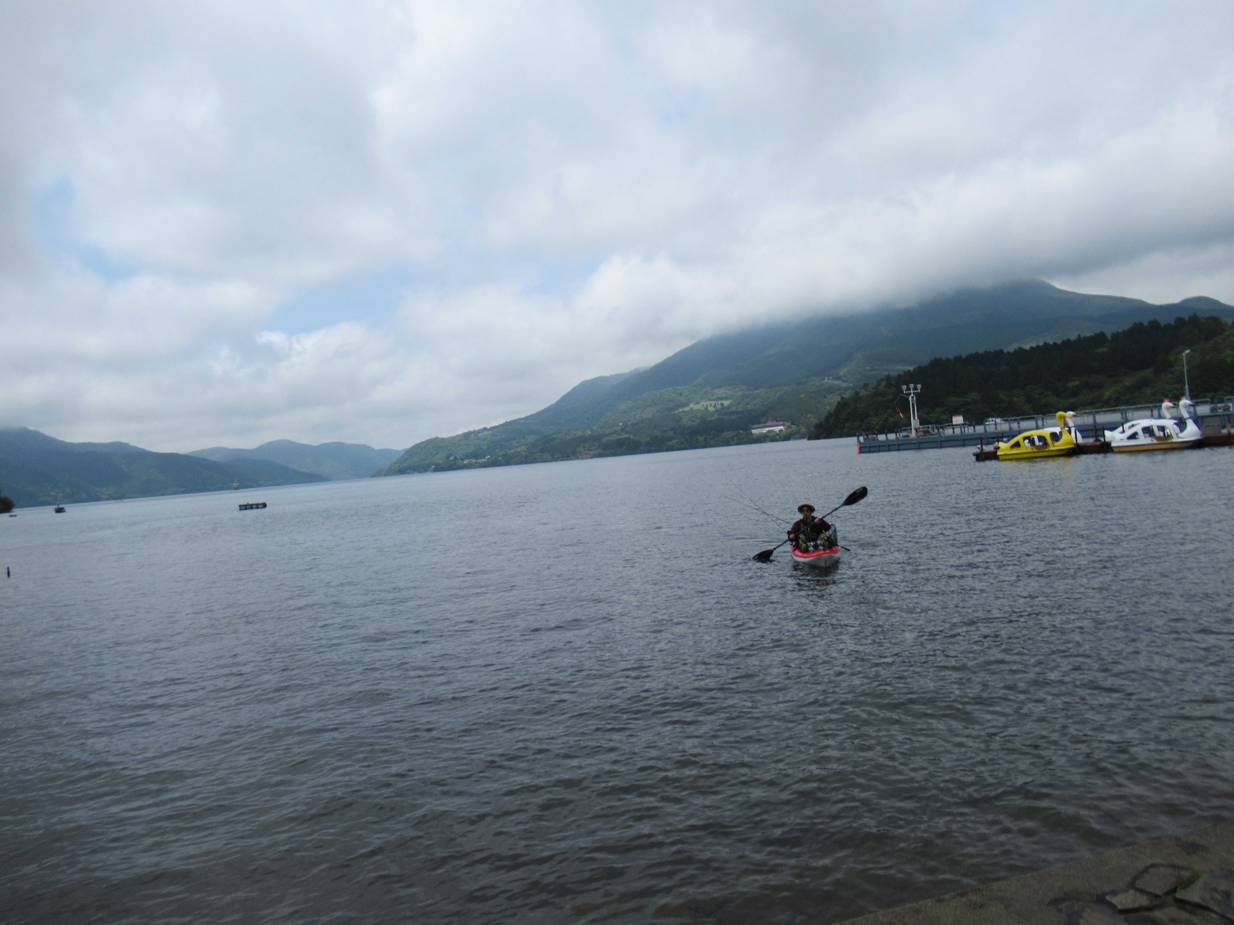
| Lake
Ashinoko is popular for Japanese smelt fishing. Along our route today, Fisheries Cooperative has nursery for their juvenile fish. They release them to the lake, which brings them commercial success famous among fishery industry of Japan. |
 |
| The beginning of Hakone Kuzuryu-no-mori Therapy Road |
“Therapy Road” is a copy-righted moniker by Forest Therapy Society of Japan. For using the designation, municipality must organize and manage the road that is suitable for quiet strolling in forest without disturbance of cars or the like. Once we enter Kuzuryu-no-mori Therapy Road, we don’t have to be attentive for cars. It is a relaxing 3km walk with slight ups and downs of paved street. On our left is always Lake Ashinoko. I realized the slope here from the ground to the lake was still very steep. It’s a lake created by volcanic eruption indeed. In the middle of the Road is the entrance to the Sanctuary of Kuzuryu Shrine 九頭竜神社. According to the Town Hall people who was at the gate of the Shrine for us to navigate the course of the event, it takes about 1 hour to stroll the sanctuary-cum-park. I realized I didn’t have enough time before the Event gate was closed. I’ll try there again sometime, and report you my adventure in this blog … The end of the Therapy Road is Kojiri Terminal 湖尻 for Pleasure Cruise in Lake Ashinoko. From there go along the bus road for commuter service, and we arrive at the Togendai Port 桃源台 where the Pirate Ship comes. It’s the point where we crossed Prefectural Road 75 in the morning. For the goal of the Event we simply took the same road we descended. I departed Seisa Arena at 8:30 and returned there around 14:30. For 21km of half mountainous road, 6 hours of walk with lunch is more or less average, I think.
 |
| Scenic view of Lake Ashinoko from the Therapy Road |
 |
| A tranquil 3km |
 |
| I didn’t have time to visit the sanctuary of Kuzuryu Shrine … |
 |
| Again, lots of Clematis japonica! |
 |
| A
colony of Galium kikumugura. By the way, they are on the endangered list for Tokyo. |
 |
| The end of the Therapy Road at Kojiri Terminal |
 |
| Walking further the pedestrian road leads us to |
 |
| Togendai Port |
 |
| The
other side of the Port is the steps we descended in the morning. From here, it’s one way climb to the goal. |
 |
| Bear from the Red Cross was waiting for us. |
Next week, I’ll tell you the peculiar story of two Watergates we passed during the event. Even among locals of Kanagawa Prefecture, there is a sort of misunderstanding for the issue. I explain about it. Please stay tuned!

Hakone Visitor Center of the Ministry of Environment 環境省箱根ビジターセンター
164 Motohakone, Hakonemachi, Ashigarashimo-gun, Kanagawa, 250-0522
〒250-0522 神奈川県足柄下郡箱根町元箱根164
TEL:0460-84-9981
FAX:0460-84-5721
No comments:
Post a Comment