
😄
Naomi


 |
| Minimum microplastic count in Yadoriki Stream |
 |
| A stream
immediate to the water source of Hikiji River. At this point water runs through Izuminomori Forest so that the possibility for plastic lawn particles comes in is minimum. It‘s a pity we cannot keep the condition. |
 |
| One of
the forests in Shinyurigaoka area. It’s small, but maintains the remnants of yesteryear’s biosphere for Tama Hills. It’s completely surrounded by housing. |
 |
| Water
source area for Asao River in Haruhino-Kurokawa Forest |
 |
| When we
enter Haruhino-Kurokawa Forest from Haruhino Station, we first meet with a ridge way running along Metropolitan Road 18 that is the border between Kanagawa and Tokyo. The ridge way is an old commuter route carrying products of Kurokawa Area to Hachioji or Edo (Tokyo) for centuries. Now it is a nice strolling path for locals. |
 |
| And
the maintenance of this old route is done by local volunteers who invite mates to do the weekend task. |
 |
| Well-controlled
undergrowth along the route. Good job! |
 |
| In the
ridge of Kurokawa Forest, there is one open space with benches. From here to the south, or to the left of this photo, is the basin for Asao River. It‘s a good place to have lunch if you spend your weekend in Kurokawa Forest. |
 |
| To reach
to the ridge, we take this road climbing from the bog for the water source. It is well-maintained road easy to walk. This tells the endeavor of volunteers. |
 |
| Looking
the basin of Asao River from the ridge way of Kurokawa Forest. |
 |
| Haruhino Station |
 |
| The open space in front of Kurokawa Station |
 |
| Ceresamos |
 |
| The
blue and white bldg. is Buddy Sports Kindergarten near Haruhino Station. In November, they were cerebrating their teenage alumni who newly obtained seats for teams of J League. The tradition continues ... |


 |
| We’re going up to the ridge of Haruhino-Kurokawa Forest. |
 |
| Having
said that, this installation by Toshiyuki Tanaka tries to capture mutual communication with the forest: "TANAKA Toshiyuki, Eyes in the woods." |
 |
| “ISHIZAKI Kouji, Hope” |
 |
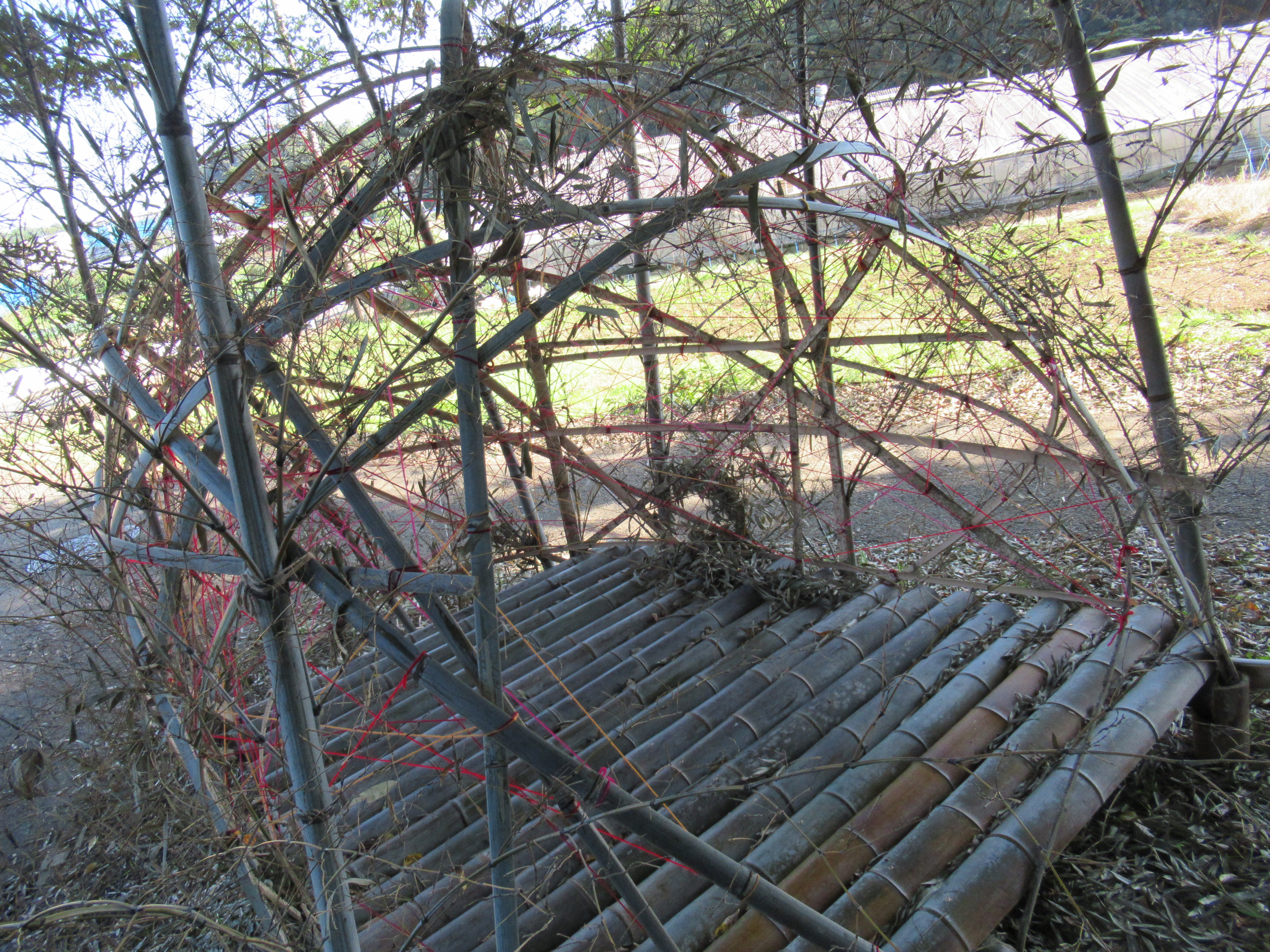
| “TAKEMOTO
Suguya, Floating Object in the Valley.” This installation would be from the same idea of Tanaka’s installment above. But I was horrified to see this plastic seats floating above the abandoned rice paddy. Reason? Please wait till my next week’s post. |
 |
| “SATO
Hideyuki, Dinosaur Egg.” Ditto for this fiber-reinforced plastic. |
 |
| “LYU Dian, Fountain.” Ditto for this. |
 |
| “TACHIKAWA Mariko, Surrounded by Delicious Sunlight.” |
 |
| “HARADA Riito, Convey my heart.” This I like. |
 |
| “MURATA
Yuta, Place of Soil.” His continuous work from the previous show. I’d like to see how he develops his way of communicating with the land. |
 |
| “MACHI
Kiiko, No!” She emphasized she was strongly against all the wars of the planet, and said NO in a large voice … but why in this forest, I wonder. |
 |
| “TSUKASA Kana, Scene.” |
 |
| “UTSUMI
Hitoshi, Secret Base.” This one is also I like. He tries to have a fun with the forest as a kid. |
 |
| “ABE
Yasumichi, Loop.” He’s not the only artist of this show who presented a sculpture made of stone. In a sense, it’s a traditional way of humans in the relationship with nature. What does it mean, I wonder. Is it the beginning of gigantic stone palace of Versailles with completely geometrical garden? I suspend my opinion about this … |


 |
| This
year Niiharu’s Reineckea
carnea had
lots of flowers. It’s a short delight (for less than a week) of late autumn. They do not have flowers anymore, if you visit Niiharu now. Sorry! |


 |
| A larvae for beetle (sp.) |
 |
| ditto! |
 |
| This year, lots of Porostereum crissum sprouting … |
