Strictly
speaking, 45 ha of Yokohama Nature Sanctuary is not a member of Yokohama
Citizen Forests, but one of the 10 elite educational Nature Sanctuary Forestsin Japan established by partial grants from national budget. In the context of countrywide
environmental policy, the Sanctuaries are expected to be the forefront of
protecting nature against random urbanization, for the archipelago defined as a
“Hotspot” of unique but endangered biodiversity by the Conservation
International. So, the difference
between Nature Sanctuaries and National Parks in Japan is Sanctuaries’
proximity to the mass of ordinary people. Nature Sanctuaries are to provide as
much as possible educational experience for urban kids and quality-of-life enhancement
for adult city-dwellers. The management of Nature Sanctuary Forests is done by
collaboration of municipal governments and private sectors. The Ministry of the
Environment plays advisory role + monitors the usage of national expenditure in
these places. Naturally, these days Sanctuary Forests are gateway to
eco-tourism as a part of economic trend: many many people come, rain or shine.
 |
Yokohama
Nature Sanctuary has
many educational signboards. |
 |
Each
route inside the Sanctuary
has educational theme. |
The Yokohama Nature Sanctuary opened its door in 1986 as the first Nature Sanctuary in Japan,
with the national and prefectural grants. The City subcontracted the daily
management of the place to Wild Bird Society of Japan who provides us the
guidance of professional rangers stationed at the Nature Observation Center in
the Forest. The Center (open 9:00-16:30, closed Monday; free) has library and
interactive museum space where we can see, touch, and listen “animal,
vegetable, mineral” of the Sanctuary. The Wild Bird Society and the governmental
offices provide many educational events throughout the year in the Sanctuary. The
large landscaping and natural-disaster resistant construction within the
Sanctuary are by public entity, but selective undergrowth thinning and re-creation
of traditional farming are done by 200+ volunteers who are registered at the Friends of Yokohama Nature Sanctuary (est. 1988). The Friends has their own pretty
meeting place, Gorosuke-kan, next to the Nature Observation Center, and a charcoal
making hut … well, the space with 4 structures is large enough to call it a
play-garden. Not only engaging in the forest maintenance works, the Friends
holds weekend educational tours for under-15 kids (and adults) to enjoy the Forest,
in addition to the events by the Sanctuary management. (Their FY 2015 event
list is here and here.) Often the lecturers of the events in the Sanctuary are
college professors, and lotteries are held for choosing participants; they are crazy-popular.
Coming February 11th, there will be a seminar for teenagers to learn
frog habitat protection; application deadline is February 4th either
by email, FAX, or reply-paid postcard to the Sanctuary (link, here); the seats
are allocated by the draw. Frog lovers, Good Luck! We can download the result
of these educational and environmental research activities in 2013 Report from “HOME” of their homepage.
 |
| Nature Observation Center |
 |
| First Sunday of each month is for Kids’ tours. |
 |
| Gorosuke-kan for volunteers |
 |
| Charcoal making “huts” |
 |
| Re-creation of traditional vegetable plots |
 |
At the moment, Tampopo (Dandelion) 11-13 Area is
closed till February 2017
due to the construction of anti-earthquake measures
for an underground flood-prevention pond.
(Yes, for an artificial pond.) |
 |
Coming April, it will be the brand-new barrier-free
toilets
at Nagakura-guchi Entrance. |
 |
The barrier-free toilet near the charcoal making huts.
All toilets in the Sanctuary are clean and barrier-free;
soaps provided. |
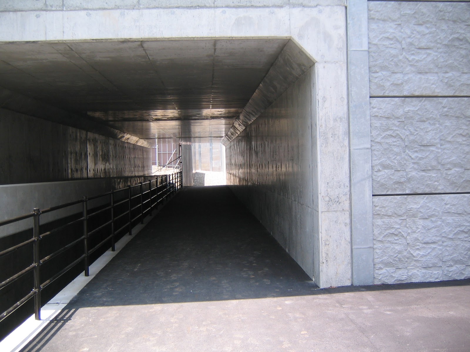
The access to the Nature Sanctuary is either from
Kanazawa Forest along Beetles Trail, or directly by bus from Keikyu Kanazawa Hakkei Station 京急金沢八景駅. At the moment, Kanazawa Hakkei Station is undergoing
a renovation so that it may be tricky to find a bus stop to the Nature
Sanctuary. We leave the station, and cross Route 16 to the direction of
Kanazawa Hakkei Station of Kanazawa Seaside Line monorail at Kanazawa Hakkei
Ekimae Traffic Light 金沢八景駅前交差点. Turn right to the direction of Sumitomo Mitsui Bank.
A bus stop in front of the building next to the bank is for the services to
Nature Sanctuary. Take Kanachu Bus 神奈中バス from there to JR Ofuna Station JR 大船駅 with Funa-08 船08
(time table here) or Kana-28 金28
(time table here) services, or to Kamigo Neopolis 上郷ネオポリス with
Kana-24 or -25 金24, 25 services (time tables, here and here). For
the Sanctuary, we can get off the bus at 4 stops starting from Yokohama
Reien-mae Bus Stop 横浜霊園前, Mori-no-ie Stop 森の家, Kamigo Stop 上郷, and Nagakura-cho Stop 長倉町. When you ride the bus, you tell the driver which
stop you plan to take; s/he will charge you accordingly. From Yokohama
Reien-mae Stop, there is an entrance of the Sanctuary on the other side of the
road climbing up steeply to the Nature Observation Center. From Mori-no-ie Stop
and Kamigo Stop, climb the road on the other side to reach first in the middle
of the hill to Kamigo Mori-no-ie 上郷森の家 which is a conference center/hotel/BBQ
field/spa/baden within the forest, managed by Yokohama Greenery Foundation 横浜市緑の協会. Passing the facilities of Mori-no-ie, we soon arrive
at the main entrance to the Sanctuary. If you come to the Sanctuary by car, you
can use the parking of Mori-no-ie (; 500 yen per day). Oh, by the way, the bus
route of to the Sanctuary crosses Asahina IC of Yokohama-Yokosuka Road. Just
before the IC, there is Asahina Bus Stop 朝比奈 from which we can enter the historical Asaina
Kiridoshi Pass 朝夷奈切通 to Kamakura. It is one of the 12 natural barriers
that protected medieval Kamakura Government from outside till 1333. This
geological point is one of the reasons why Enkaisan Area has experienced human
interventions for millennia.
 |
| Kanazawa Hakkei Station |
 |
Cross Route 16
to the direction of the Seaside Line
station. |
 |
| Bus Stop to the Nature Sanctuary |
 |
| Entrance from Kamakura-Reien Bus Stop ... |
 |
| It goooooes up in this way … |
 |
| From Kamigo Bus Stop, the entrance to Mori-no-ie |
 |
| Mori-no-ie |
 |
| Entrance to the Nature Sanctuary from Mori-no-ie |
Having said that, if you go to the Nature Sanctuary
directly from Kanazawa Hakkei, I recommend getting off the bus at Nagakura-cho
Stop, because we can enjoy a gently sloped promenade to the Sanctuary along
Itachi River. The road is easy to walk, with the 4 picture-boards to the
Sanctuary depicting a local fairy tale painted by the kids of Noshichiri
Elementary 野七里小学校. The School does not exist anymore: it was closed 10
years ago due to the aging population around Nagakura community. Signboard #4
is almost at the entrance to the Sanctuary. er, yes, the tale is written
in Japanese … translation:
Once
upon a time, at the end of Shodo community 庄戸 and Kodo
community 神戸, there was a pond
called Nagakura where a large snake lived for ages.
One
hot summer day, a local man called Yasaburo entered the forest around the pond for
work.
He
became very thirsty, and drank water from Nagakura Pond.
That
night, Yasaburo had a high fever, and lost consciousness.
Tasaburo
had a daughter called Okinu.
Okinu
was very angry because she thought the snake in Nagakura Pond made her dad very
ill.
So
she went to the Pond and shouted “Hey, Snake, why have you made my dad sick!?”
The
snake appeared from the pond and told her she was lonely and cried a lot. Her
tears made anybody who drank the water from the pond ill.
Okinu
felt sorry for the snake. She played with the snake to comfort her.
When
Okinu returned home after playing with the snake, she found Yasaburo had
recovered completely.
So,
Okinu and her human friends started to play with the snake everyday, with lots
of laughter.
The snake was a
messenger from the heaven. Eventually she accomplished her mission, and
transformed into a dragon returning to the heaven.
 |
| Nagakura-cho Stop |
 |
| Story #1 |
 |
| Start of the promenade |
 |
| It goes into the forest … |
 |
| Story #4, and |
 |
| To the entrance to the Nature Sanctuary |
 |
This is Nagakura Entrance:
the brand-new toilet is over there. |
Nagakura Entrance is Blue-13 in the map of the Sanctuary. The route with
blue numbers in the map is called Dogwood Trail ミズキの道 of 1.6 K. This route is
circular where the Marsh of Luciola Lateralis 平家ボタルの湿地,
the smallest 3 native fireflies in Japan, is at the highest point. From
Nagakura Entrance, if you take the right paved road along Itachi River proper,
we first find on the left an area, the Valley of Luciola Cruciata 源氏ボタルの谷,
in Itachi River. Soon after, on the right is a small pond called Whirligig
Beetle Pond ミズスマシの池 that receives water from Dogwood Valley ミズキの谷
above.
Then, in front of us, there is a birds-observation hut that allows us to watch
wild birds enjoying their water life in the Dogwood Valley. The point is the
“official” source of Itachi River, and Katase River pouring to Sagami Bay at Katase-Enoshima
Beach. The paved road simply continues to climb up to Colias Erate Plaza モンキチョウのひろば
(#1)
in front of Nature Observation Center (#0).
When we don’t proceed to Blue -3, we can take the route from Nature
Observation Center to the Sanctuary entrance to Mori-no-ie that is a similarly
paved road passing in front of the charcoal making huts and the construction site.
It is the easiest way in the Forest. The
vegetation around Nature Observation Center is educationally planted for kids
to touch and investigate forest environments, with lots of picnic benches in
Colias Erate Plaza. It is a very busy area during weekends with lots of people.
 |
| Marsh of Luciola Lateralis |
 |
The paved road slowly goes up
along the Valley of Luciola Cruciata. |
 |
| Whirligig Beetle Pond |
 |
| Birds Observation Hut |
 |
| er, well, no bird here. |
 |
| The pergola in Colias Erate Plaza |
 |
| Educational instruction! |
The rest of the road in the map, Blue 2-13 (a part of Dogwood Trail),
Orange 3-10 (a part of 800m Dandelion Trail タンポポの道), Green 6-14 (a part of 700m Nightingale
Trail うぐいすの道), and Red 2-11 (a part
of Quercus Serrata / Beetles Trail コナラの道・ビートルズトレイル that is 1.7K within the
Sanctuary), is more of the standard trekking road in the mountains. Each has
its own charm. Orange 3-10 skirts the backside of the construction area. It was
once a productive community forest when people used the place for agriculture. Now
the place is designated to preserve traditional forestry method of subsistence
village life. The space near to the entrance from Mori-no-ie is named Sympetrum Frequens Hill アキアカネの丘 where a shallow pool appears
when it rains due to a small rough terrain with various grasses. The management
keeps the place as such by regular mowing in order to protect the animal and
vegetable lives that thrive in such condition. From there down a bit, there is
a Sawtooth Oak Open Space クヌギの林 where volunteers recreated a traditional Sawtooth
Oak forest and open working space that was common all over Japan when people
harvested forest vegetation for fuels and fertilizers. The Orange Trail itself
is kept to maintain the traditional village life atmosphere by the Friends.
 |
| Sympetrum Frequens Hill |
 |
| Re-created traditional
utility forest … |
 |
| and its open space where |
 |
| I met lots of mole life. |
 |
This Sanctuary is
managed by Wild Bird Society,
oh yeah. |
Green 6-14 is a bush
forest where wild insects and animals lives, … I met lots of Taiwanese
squirrels there, gnawing barks here and there, NOT fearing me AT ALL. The Chief
Ranger Mr. Kominami told me this fall the harvest of acorns was not enough +
their home country does not have winter so that in Yokohama they are a kind of
desperate to chew little bit of honey out of the barks … He is a so
kind-hearted animal loving person … Maybe the bush trees in the Sanctuary are
strong enough to withstand the Attack of Squirrels … Red 2-11 is the continuation from Isshindo
Plaza. The ridge way is wide and well-trod as we visited last week. The valley
on the right from the Oomaruyama climbing point to Red 11 is “completely
off-limit” area for human intervention. The last human involvement there was before
1940 so that we can see someday how the things will go if the nature dictates to
Yokohama. It’s a kind of funny lots of people walking along very popular hiking
course peek into a steeply tumbling down slope of trees that is strictly prohibited.
We can observe continuous roofs of houses in Shodo community and beyond
starting at the end of the forbidden forest. How will the environment evolve …?
 |
| The road of Nightingales |
 |
| The table manner of squirrels |
 |
| The road from Oomaruyama |
 |
The off-limit forest for humans,
but hungry Taiwanese squirrels are
gnawing the barks
(please see the tree on the right). |
 |
| Sekiyaoku Viewing Point 関谷奥見晴台 in Beetles Trail |
Blue
1-13 is along a valley joining Itachi River at Blue 13 where its north is the
off-limit area for conservation. I would say this is the wildest trekking road
of all the accessible routes in the Sanctuary. From Blue 13 to 8 is a steep
slope of about 500m running along the valley of deep forest. Though
precipitous, stairs, wooden decks and bridges and narrow hiking route are well
maintained. We’ll find some trees along the road with a number card wrapped
around the bark. It is for the hikers to identify each tree according to the free
Tree Watching Map we can take from the Nature Observation Center. In January, I
have seen lots of wild euonymus hamiltonianus there with its pretty pink seed skin. The
undergrowth is sometimes of large ferns. The contrast of innocent pink and untainted
green in pure winter air is … sublime. Oh, the road of this part is so narrow that
no photo stand is allowed. Hold your camera with your muscle! The space around
Blue 8 point is named Asteroideae Plaza ノギクのひろば and from there to the
crossing with the Beetles Trail at Blue/Red 6 is more flat, wider and dry.
Asteriudeae Plaza is sometimes used for educational excavation as we can find
lots of fossils of sea creatures. (Of course, nothing is allowed to remove from
the Sanctuary!) The Sanctuary is in the south of Enkaisan; the seabed was
raised by tectonic crash 2 million years ago.
 |
| This much of steepness |
 |
The tree number goes like this.
#25 is for lindera umbellate that can be manufactured
into the best quality
utensils
for the highest prestige tea ceremony.
Hey, the place is for
conservation.
This tree must stay there as such. |
 |
| The
valley |
 |
| Those
ferns thrive on a vertical hardpan. |
 |
| Asteriudeae Plaza |
 |
The road from the valley to the Plaza is definitely drier.
Do you notice
sasa bamboos here have
impressive dark brown barks? |
 |
Route to Blue/Red 6 is almost a ridge way
with a view to the west. |
The entire area from Mine Citizen Forest to Yokohama Nature Sanctuary is
considered as the core of Yokohama Forest of Relationship Program 横浜つながりの森構想. This program is a part of municipal policy, Yokohama Action Plan for
Biodiversity (Yokohama b-Plan), where nature conservation in a highly urbanized
city envisages to act for the welfare improvement of current generation and
beyond. In 2014, the Ministry of the Environment published an environmental assessment report for the area with eco-tourism promotion in mind. The place
has a long history of interaction between the forest and humans. Yokohama
people, volunteers, private business including farmers, municipal and national
governments, all try to make the place better for future. Sure … do you know
the biodiversity of the area is smaller than the area around Niiharu and
Zoorasia? (According to the data from 2006 Kanagawa Prefecture Red Data Biological Research Report 神奈川県レッドデータ生物調査報告書.) The difference between these 2 areas? Enkaisan
Area is visibly and invisibly dissected by heavy-traffic roads … Tomei Highway, the main artery of the Japanese
economy, runs 1K north of Niiharu Forest, but does not come into the Forest …
If you find a problem in the Forest,
please make a contact with
Yokohama Nature Observation Center at
Yokohama Nature Sanctuary
横浜自然観察の森自然観察センター
Phone: 045-894-7484
FAX: 045-894-8892