
To visit Ichiyajo Castle 石垣山一夜城 by public transportation, we first get off JR Tokaido Line at Hayakawa Station 早川駅, one stop from Odawara. It has only one gate towards Sagami Bay 相模湾. In front, there is a traffic light aptly called “Hayakawa Station 早川駅前.” For today’s itinerary (about 6 hours walk), we don’t have to cross the road, but if you do and go left, the first road on the right is straight to Hayakawa Harbor, aka Odawara Fishery Harbor that is the main fishing harbor for Odawara City. It’s about 5 minutes’ walk from the ticket gate of the station. NEAR! Over there on the quay we can find a lighthouse in a shape of traditional Japanese lantern (Chochin). Before industrialization, people busily travelled on foot or horse. Odawara was/is on the artery Tokaido 東海道 between Edo (Tokyo) and Kyoto / Osaka. An artisan named Jinzaemon lived in Odawara saw a business chance and designed a portable lantern good for travelers. It became a mega-hit. The city became famous for this sturdy lantern with brand name “Odawara Chochin 小田原提灯.” Thus, as a symbol of proud old city by the fertile bay, they built such lighthouse at the mouth of their main harbor. Just last month, people of Odawara opened a brand-new market, Totoko Odawara, for fresh catch/produce and reasonably priced restaurants accessible for tourists. After Tsukiji Market of Tokyo became somehow cut-off from a working fish market, in metropolis Tokyo area Hayakawa Harbor is one of the remaining fishing markets where we ordinary people can purchase really fresh seafood directly from the fishermen. Although we have to go there during morning (; in Japanese fish markets ordinary business hour is from around 5:00 to 13:00, M-F), if you have time in Odawara on your way to Hakone 箱根, please try the place. Sushi, tempura, etc. etc. DELICIOUS! And later in today’s course, we’ll meet an evidence how rich the fishing ground in front of us is. 😉
 |
| Hayakawa Harbor, aka
Odawara Fishery Harbor. Could you see buildings over there? Those are the shopping and eating places for casual visitors. |
 |
| Chochin Lighthouse |
Let’s return to our way to the remain of the castle. We leave Hayakawa Station, turn left at the traffic light and proceed a bit towards the downtown Odawara along Route 135. The first road turning to the left along 135 goes under JR Tokaido Line. Please take this route and go straight. We’re now in the old town of Hayakawa. This is the mountain side of Hayakawa and they have lots of old temples and shrines whose foundation can be traced back to hundreds’ years. Keep straight and turn right at the second crossing. We soon meet a small three-way junction. Please turn left here; caution, this junction looks like a crossing as there is another road out of alignment to the left beyond the road we should take. Don’t go there: choose the road this side nearest to us. Almost immediately we go under the viaduct of JR Shinkansen Line. Go straight and meet with another disjointed crossing. Take the road a sort of in front of us. In 100m or so, we’ll meet Kaizoji Temple 海蔵寺 where a grave of warlord Hori Hidemasa 堀秀政 resides. Hidemasa died of illness during the besiege of Odawara at the age of 38. He was a beautiful page of Oda Nobunaga 織田信長, the boss of Hideyoshi. After Nobunaga’s death, he became one of the young, best-and-brightests among the vassals of Hideyoshi. It is said that Hideyoshi planned to give Hidemasa the territory of Hojo Clan after the war. i.e. If he had survived, the history of Japan could have been completely different and Tokyo would have not existed now. The sanctuary of the temple has several huge Machilus thunbergii, a typical species found around old Japanese buildings along the coast. It won’t grow away from sea breeze. We guess when Hideyoshi came here, such large Machilus thunbergii covered the slopes of the hills in the area …
 |
| Take this road. Adelante, por favor. |
 |
| Turn left here. That brown placard on the wall says “Ichiyajo Castle, this way.” |
 |
| Turn right here at the
second crossing. Could you see another brown placard? It’s a guide to Ichyajo Castle. |
 |
| This is the tricky crossing. Please choose the nearest road on your left. The brown placard says the nearest road, not the next one, you see? |
 |
| Actually, this road is
narrower, so you may feel nervous. But it’s the right course. Above is the viaduct of Shinkansen. |
 |
| The entrance for Kaizoji
Temple. It’s not a big temple like you find in Kyoto or Kamakura. |
 |
| A large Machilus thunbergii |
 |
| Hori Hidemasa. Legend says he was “extremely” handsome, but this picture looks like a malnourished ghost. It is said that it’s a self-portrait by himself. Hey, gents, could you do some psychoanalysis here? |
 |
| His grave is over there, admiring the beauty of Sagami Bay whose fortune might have been his … |
The gate of Kaizoji Temple is at a non-aligned tree-way junction. Please take the widest road on your right. As this is the main route to Ichiyajo Castle, cars including big tourist busses come into this road. I think it can be easy to recognize the way here thanks to the busy traffic. From this point, the road to the castle is steep one way up. Both sides of us are terraced fields mainly for orchards of tangerines. The terraces are constructed by ubiquitous andesites made from lava of Hakone Volcano. From November till around February, lots of bright orange fruits are smiling under warm sunshine. Several farmers set up temporary vendors of tangerines and the other ag products from their field. Today we walk only such agricultural roads so that we’ll be welcomed small shops a lot. Having said that, density-wise, this is the busiest spot for your tangerine shopping. If you buy something here, you have to carry it all your way, but … decisions, decisions. There remain the 10th century governmental documents called Engishiki 延喜式 that reported people of Odawara region paid their taxes in tangerines. Theirs is the millennium old industry. Though, I’ve heard these days farmers are worrying how long they could continue this due to climate change … They are seriously considering to replant different species of tangerines that can endure hotter temperature, they say … Oh, caution. The width of the road is not much and it does not have enough crash barriers. The view of Sagami Bay and Tanzawa Mountains 丹沢 from here is wonderful, to be sure. Say, you are busy taking photo along frequently passing cars, and fall 3-4m down to the tangerine orchard. Although it won’t be difficult to call ambulance here, better be careful before breaking your bones.
 |
| From Kaizoji Temple, please go after those hikers on a steep climb. |
 |
| The road starts like this. |
 |
| Mmmmmmmmmmmmm … Nice weekend! |
 |
| The terrace is made of
andesite. By the way, the narrow leaves in front of the terrace is red spider lily. They first flower at the beginning of fall without leaves, then start photosynthesis, I presume. |
 |
| One of the tangerine vendors |
About 1.7km up from Kaizoji Temple, we reach to the Ishigakiyama Ichyajo Castle Park. There are parking space, toilets and Yoroizuka Farm Restaurant on the left, and on our right is the main remains of Ichiyajo Castle. You can regard this place as your destination for your Sunday picnic with your family. Toilets are here and there. You may come here by car. The view from the park to Odawara and Sagami Bay is wonderful. Easy, don’t you think? Instead, if we keep going the road from Kaizoji Temple, passing Yoroizuka Farm Restaurant, the road meets with a crossing. Today, we turn left here, but just going straight we go down to Hayakawa River 早川 and meet with Kanagawa Prefectural Museum of Natural History 神奈川県立生命の星・地球博物館. In less than 50m from the crossing to the Museum, on our right, there is an old and large Castanopsis sieboldii. Beyond this point to the sea, we cannot find the species so that it is the environmental border between Machilus thunbergii and Castanopsis sieboldii. I think when Hideyoshi executed “Shock and Awe” to Hojo Ujimasa, the large enough forest covering the construction was consisted mainly of Machilus thunbergii ... Machilus thunbergii is known to have sticky texture as lumber. It would have been a huge effort for the troops to cut huge Machilus thunbergii en masse overnight in steep slopes. Mobilizing this amount of man-power is telling something about the power of Hideyoshi …
 |
| Almost there. The large stone fence is what Hideyoshi did some 400 years ago. |
 |
| Here we are. The main entrance to the Ichiyajo Park. |
 |
| Parking, toilet and Yoroizuka Farm |
 |
| To the main remains of the castle |
 |
| Inside is a well-tended park. |
 |
| Beyond Yoroizuka Farm |
 |
| There is this signpost indicating
the direction to the Museum and its nearest train station, Iriuda Station 入生田駅 of Hakone Tozan Train 箱根登山鉄道. |
 |
| The Castanopsis sieboldii on the border |
Next to the museum building is Hot Springs Research Institute of Kanagawa 神奈川県温泉地学研究所. The entire area is a kind of research park of the field. If you are interested in nature and geology of our Prefecture, this is the must-go place. Along the way to the museum, there is a place where people left a huge large volcanic rock quarried for stone fence of Edo Castle, aka Imperial Palace. This is another reason why Hideyoshi chose this place for his War of Odawara. Harvesting rocks for Nozura-zumi fense was damned easy here. Ieyasu watched how Hideyoshi utilized the land. He employed Hideyoshi’s way of procuring building material for his castle in Tokyo. Alas, one of the stone fell off from the road went through the slopes of Hakone, and people left it there. Today, we won’t go to the direction of the museum, but turn left at the crossing to see another volcanic feature closely.
 |
| The area for Kanagawa Prefectural Museum of Natural History |
 |
| Inside of the museum is like this. |
 |
| But today, we go this way. |
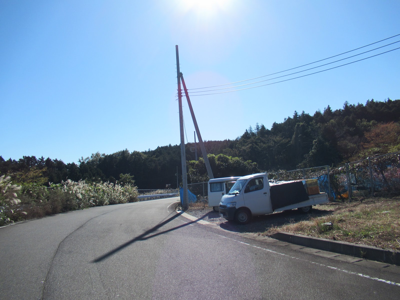
After turning left, the road continues to be well-paved but the number of cars or even hikers are definitely smaller than the route we’ve experienced till the crossing to the Museum. This is a community road for the farmers who have terraced fields looking to Sagami Bay. It is a quiet paved way with beautiful sea below. Under the surface the bottom of the sea we can look has a similarly steep slopes going down rapidly to more than 1000m deep. Upper part of the bay is receiving the warm Japan Current from the equator, which brings variety of fishes from the south. The deeper down of the Bay is where the cool and nutrient rich Kurile Current infiltrates from Kamchatka Peninsula of Siberia. The sharp road we are walking now is a part of this geographical feature. We can find traces of water flow on the road and in the forest along the route. Such movement of water carries down nutrients of the forest here to Sagami Bay. Organic materials from the forest join with Japan and Kurile Currents in the Bay to be food for phytoplankton which is the foundation of food chain of the area. Because of this, the fishing ground west of Odawara is so rich ...
 |
| A quiet road |
 |
| It seems to me somebody hunted boars. |
 |
| Beautiful Sagami Bay … |
We keep on descending straight to meet with small Tama River玉川. Please cross the bridge and turn left here. Another community road goes down to Ishibashi Community 石橋 by the sea. Along the road on our right is probably former bluffs of Tama River. We can directly observe several rock surfaces of fine granitic texture. It is Nebukawa Lava out of another crater for Hakone Volcano. The rocks here are different from the ones we can find around Ichiyajo Castle. The direct distance between the Ichiyajo and Tama River is about 1.5km. Within a so small distance, we can meet with diverse samples of andesites due to active volcanic activity. This part of Kanagawa Prefecture is on the crushing line between Philippines and North American Plates. Tectonic movement creates lots of volcanic activity and produces andesites. Hideyoshi exploited such geological condition, and so did Ieyasu to build Imperial Palace. Still today, this part of Odawara City has lots of stonemason workshops working with the materials harvested from the underground. It is their traditional industry thanks to the planet earth.
 |
| Crossing Tama River to
turn left is a bit complicated task. In any case, there is a familiar brown placard near the bridge. Please find this. |
 |
| First, we cross the bridge
and turn right. The road is descending to take a hairpin curve. |
 |
| And so, we can turn left by walking under the bridge. |
 |
| There are lots of rocks poking from the tierra along this road. |
 |
| Actually, the forest here is established on the lava flow. |
 |
| Tama River |
 |
| We are now in the beginning
of Ishibashi community. People use abundant andesites for fences of their property. |
 |
| Terraced tangerine
orchard in Ishibashi community with andesites, of course. |
We can simply go down to Route 135 at Ishibashi Bus Stop, or turn right at the water intake facility of Ishibashi Water Source to Sanadareisha Shrine 佐奈田霊社. To the shrine, it is another steep climb of a broad but quiet well-paved road. This time, the route has enough guardrails. The view of the ocean is spectacular again. We can identify dots on the sea surface from here. They are buoys for fixed shore nets … Orchards for tangerines continue in our both sides. Sanadareisha Shrine is on a hill of our right. This hill and the north side of the valley was another ancient battlefield, called the Battle of Ishibashiyama 石橋山合戦 depicted in Azuma Kagami 吾妻鏡. This time the protagonist was Minamoto no Yoritomo 源頼朝 who in 1180 raised an army of anti-Heike Government to fight his first battle here at Ishibashiyama. Although he eventually became the first Shogun in Japanese history, his first was a crashing defeat. He had to escape into the mountainous forest of Yugawara 湯河原 we visited last year (; my post on May 11, 2018). During the battle, the vanguard for Yoritomo’s army was Sanada Yoichi 佐奈田与一 who died at the place where the shrine stands now. This shrine has an interesting feature. It’s a half-temple, and a half-shinto shrine. Such religious institution was ubiquitous before Meiji Restoration. But in 1868, Meiji Government issued a decree to separate temples and shintoism shrine as a part of their religious policy. So, the majority of Japanese temples are for Buddhism, and shintoism shrines are for Shintoism. I don’t know why Sanadareisha Shrine could have escaped governmental control. It might be interesting to do some research here … Anyone?
 |
| Please turn right here to Sanadareisha Shrine. |
 |
| The road goes up. |
 |
| Below is the track for
Shinkansen train. If weather is fine, this is the spot we can meet many photographers for trains. |
 |
| Fixed shore net over there. |
 |
| We’ll hit a T-crossing. The brown signpost says the direction to Sanadareisha Shrine to the left. |
 |
| Sanadareisha on our right. |
 |
| Sanadareisha Shrine |
From Sanadareisha Shrine, we slope down to Route 135, then walk to the north on 135 for returning to Hayakawa Station. As you may find, Route 135 is UBER BUSY especially during weekends. Yeah, it’s a scenic driving course running really along the coast. But it’s not rare to take more than half an hour from Ishibashi to downtown Odawara by car, i.e, the same as we walk. There are many talks and townhall meetings to build wider, more efficient road, of course. The problem is, in this area the mountains from Hakone is honestly tumbling down to Sagami Bay. It’s extremely difficult to secure wide enough space for any road to be broad enough in the 21st century. Maybe by a plank path with massive construction along seashore? Moreover, if humans build a such road, there could be incessant continuation of car lights every night. Local fishermen worry the effect of substantial human intervention to marine life, and their income ...
 |
| The old stairway of the
Shrine going down to Route 135. Don’t worry a newer shortcut is on the other side. |
 |
| On our way to Route 135. I think this is another good spot to take a photo of trains … |
 |
| Hello, 135. |
 |
| You’ve got the idea, right? |
 |
| Typical. |
 |
| A stonemason workshop along Route 135 |
We turn left after passing Ishibashi IC of Seisho Bypass 西湘バイパス, in order to return to the old town center of Hayakawa. We can soon notice there are lots of formidable storehouses in each property. In 1954, fishing villages here had a record catch of Japanese amberjack. It brought a fortune to the community. Storehouses are thanks to the “Amberjack Bubble,” people say. Sagami Bay was extremely rich fishing place … Inevitably, overfishing and a crash followed. The community learned the lesson for sustainable fishing. Nowadays, the amount of catch is on the path for restoration. But … if all night long LED light illuminate the fishing ground from a huge plank path, what could happen to marine life? It’s a legitimate concern for fishing community. To make matters worse, global warming may have shifted the season of amberjacks from winter to spring. The community misses out the lucrative holiday season for amberjack market … Ancient warlords utilized the offerings of nature. And now? We might do something completely out of the context of planet earth for our short-term convenience …
 |
| 50m or so after turning
left from Route 135, there is this shrine, which is a sign your route is OK to Hayakawa Station. |

If you
find environmental issues in Kanagawa Prefecture, please make a contact with Kanagawa
Natural Environment Conservation Center 神奈川県自然環境保全センター
657 Nanasawa, Atsugi City, 243-0121
〒243-0121 厚木市七沢657
Phone: 046-248-0323
You can send an
enquiry to them by clicking the bottom line of their homepage at http://www.pref.kanagawa.jp/div/1644/
Ishigakiyama
Castle Historical Park 石垣山一夜城歴史公園
1383-12 Hayakawa, Odawara City, 250-0021神奈川県小田原市早川1383-12
No comments:
Post a Comment