
 |
| Here! Flowers of dwarf lilyturf |
From there, we slowly go up again a trekking road in the afforested coniferous forest. Then, the forest becomes broadleaved trees like giant dogwood, Lindera praecox, or Quercus serrata. It’s a quiet walk in a many faces of forest. Soon we’ll meet a signpost showing the direction to Mt. Miyachi. Please simply follow this advice. The hiking road here is wide and well-taken care of. I don’t think there is much difficulty to find a way. After less than an hour leisurely walk from the paved forestry road, we arrive at the top of Mt. Miyachi with oak trees and deer fences. In January, all the leaves of oaks had fallen, and we could observe the ridge of Mt. Sengen (ASL 567.7m; it does not have a hiking road) 浅間山 around which Mikurube Forestry Road 三廻部林道 runs (my posts on November 26 and December 3, 2021). During summer, I guess the view from the peak of Mt. Miyachi is completely covered by greens and the place would have less sunshine. Perhaps, Mt. Miyachi is a place for winter hiking.
 |
| We first walk through the coniferous forest. |
 |
| Eventually, the trees become broadleaved. |
 |
| A tunnel with giant dogwoods |
 |
| It’s a big Lindera praecox. |
 |
| There’s not much steep climbing from the forestry road.
The majority part of the trekking road to the peak of Mt. Miyachi is like this. |
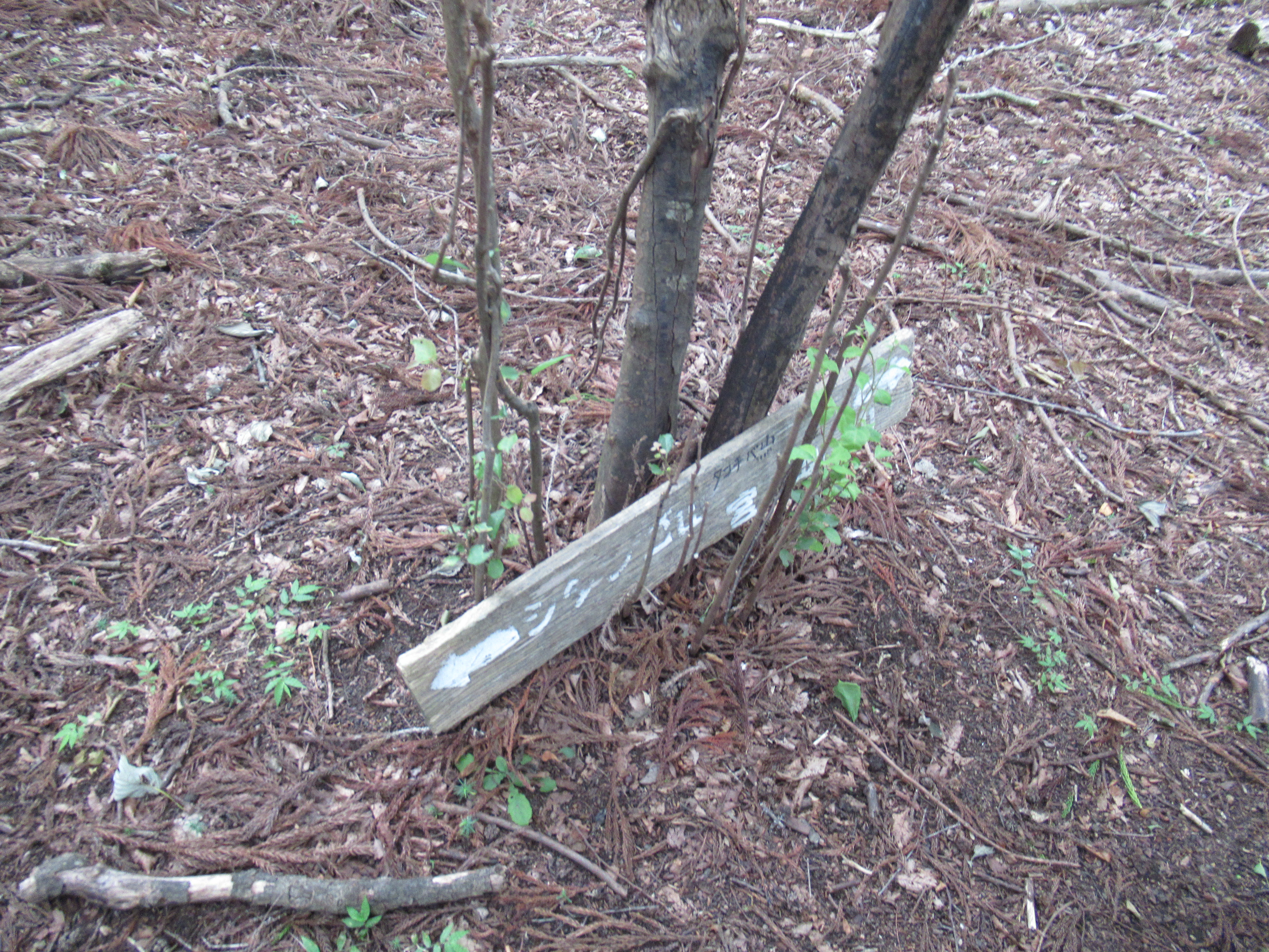 |
| Hmmmm … it’s a signpost. We take the road in the direction of right arrow. |
 |
| The scenery near the top of Mt. Miyachi is like
this in winter. Lots of Quercus serrata and sawtooth oaks. I think this itself has its own serene beauty ... |
 |
| The top of Mt. Miyachi |
The peak of Mt. Miyachi is like a hilly open space. Simply proceed trekking road going to southwest direction. The route becomes a gently going down with steps made of logs. In about 15 minutes or so, we arrive at a junction where we meet again Miyachi Forestry Road. The place also has a guide map for a hiking course to Mt. Jitango via Mt. Miyachi (i.e. the reverse itinerary for this post). The course from here gives us a nice strolling in a mountain community … Both sides of Miyachi Forestry Road show vegetation typical for Japanese agricultural village. Observing and admiring them in a slow hiking is a fun. The Forestry Road eventually brings us to Miyachi Community 宮地 of Yadoriki. This is another one of 7 villages that in 1876 joined in one administrative unit of Yadoriki.
 |
| In winter the peak is a very open space. |
 |
| The trekking course gently descends from the peak. |
 |
| And the steps with log stoppers begin, |
 |
| to meet Miyachi Forestry Road
again. At this junction, there is a map of hiking courses. |
 |
| A plant we met along the forestry
road near the housing. We discussed if they were capsules for Dioscorea tokoro Makino or Japanese yam. The latter is delicious, and the former is only for bitter diuretic. We concluded regrettably it’s for diuretic as the capsules have opening facing the sky. |
 |
| This old statue of Buddhist
figure has the inscription dated September 1882. |
That’s said, to return Shin-Matsuda Station 小田急新松田駅, we have to catch the bus whose service is rather limited. Going down, we meet Tashiro Bridge over Nakatsu River. Cross it and go straight. We find the bus route and a bus stop. The name of the stop is Tashiro Mukai 田代向 (the timetable to Shin-Matsuda Station is here). The service next to 14:45 (Sat and Sun) is 15:45. If you need to use the bathroom before riding bus, please find it one at the foot of the Bridge in Miyachi Community. Oh, these days, when we cross the Tashiro Bridge to the bus stop, a kitchen car is open during weekend at foot of the Bridge (; I mean, at the opposite side of the river from the toilet). I haven’t tried the premise yet … but soon I will. Banana juice looks appetizing. 😋
 |
| We
come down here. The small structure below the arrow is toilet. |
 |
| Tashiro
Bridge. Please cross it and go straight. There will be a bus stop in front of you. |
 |
| The
place we can find a kitchen car these days is here with the yellow arrow. Oh, could you figure out a blue house left to the arrow place? It’s a secretly famous studio for serigraphy where famous and grand Japanese artists ask work when they create opus for important exhibition domestic and overseas. |
If you find environmental issues in Kanagawa Prefecture, please make a contact with Kanagawa Natural Environment Conservation Center 神奈川県自然環境保全センター
657 Nanasawa, Atsugi City, 243-0121
〒243-0121 厚木市七沢657
Phone: 046-248-0323
You can send an enquiry to them by clicking the bottom line of their homepage at http://www.pref.kanagawa.jp/div/1644/
No comments:
Post a Comment