Tomei Expressway is THE artery road for Japan. Connecting Tokyo (“To” part) and Nagoya (“mei,” that is), tons of traffic use this road 24/7. It has many congestions here and there despite it is a toll road and does not have a traffic light. To ease the burden of very busy artery, Japanese government is building an alternative toll road named Shin-Tomei Expressway (“New Tomei”). Well, actually, at least in Kanagawa Prefecture, everybody calls this road Daini-Tomei (“Second Tomei”). So, in this post, I call it Daini-Tomei. Daini-Tomei connects Toyota City, the neighboring city of Nagoya and of course where Global HDQ of Toyota locates, and Ebina City in Kanagawa. At Ebina it joins with Tomei Express Way so that we in Yokohama murmur the effect of Daini-Tomei is not much for congestion of Yokohama IC … Anyway, the construction started during the 1990s, and expected to be completed in 2023. The last remaining part of the construction is at the entrance of Yadoriki Community. They are still preparing tunnels there. Rumor says they’ve encountered some technical trouble under Tanzawa Mountains. The date of full opening could be delayed.
 |
| Construction
site near Yadoriki. Hmmmm … the mouth of the tunnels is not connected to any road yet … it would take time for completion … |
 |
| Near
above tunnel is the dumping ground brought from the digging. Before, the place was one of the garbage lots for neighboring towns. As of October 2021, machines are still busy there to stabilize the soil. |
Having said that, between Ebina and Hadano IC, the main construction work is done and Shin-Hadano IC and neighboring SA will be open early next year. The local economy who are suffering the impact of COVID-19 has high hopes for new artery road that may bring more visitors. Service Area has the name “Hadano-Tanzawa” where bounties, like veggies, from villages of Tanzawa Mountains will be sold. Business chance! City Hall of Hadano 秦野 is busy marketing the road and places. They are also inviting locals to be familiar with the new road. One such event is Tree-planting Festival on October 23 on the embankment slope of the road. About 60 citizens of Hadano City who raised their hand to join the occasion will enter the site that is normally off limit for pedestrians. I’ll act as a forest instructor to help their planting. The other day we had a preliminary checking session for the festival. This week is my story about this adventure. Well, not as humongous as dams, artery road construction site by the national government looked, I would say, …

 |
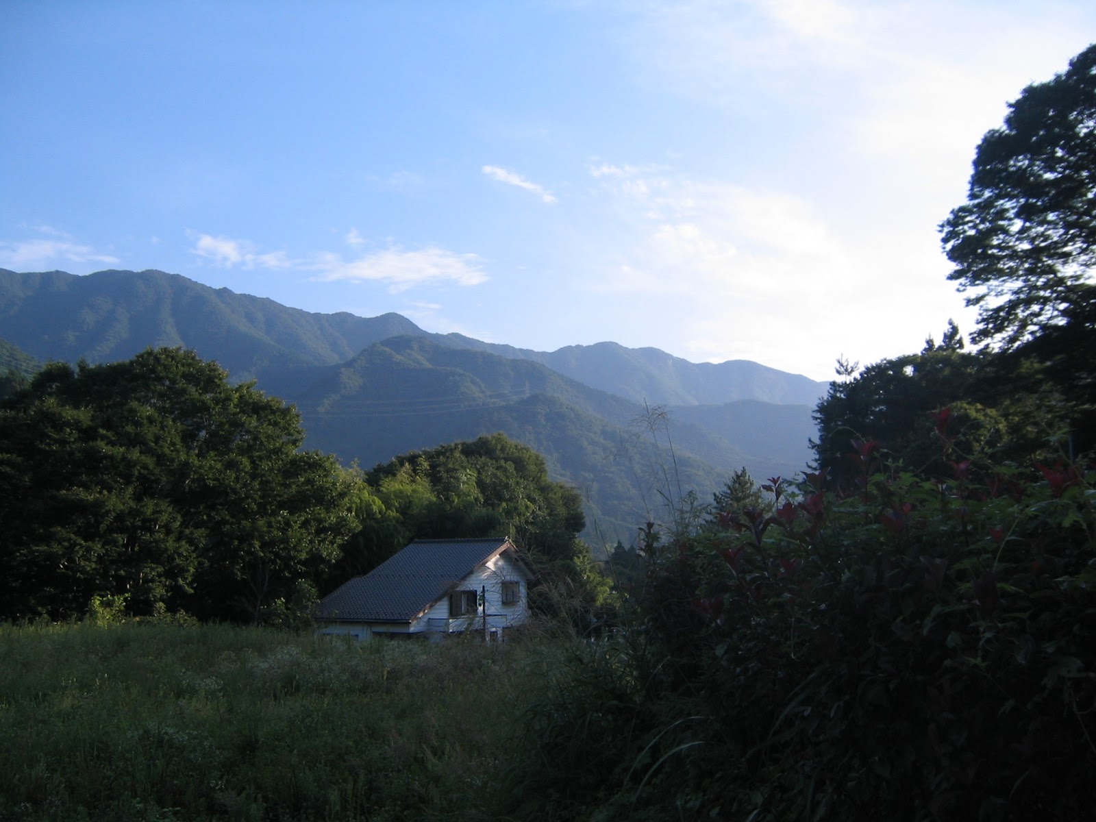
| Backyard
for Daini-Tomei. It is still an agricultural community. |
The festival site is near Kami Elementary School 上小学校, the oldest in Hadano City whose predecessor was a temple school since the 17th century. We walked very idyllic country road for few minutes and entered the gate that separated the controlled area of the artery toll road from the ordinary rural community. The forests of broad-leaved trees suddenly opened up with still bare earth where huge construction machineries were operating. The embankment was covered by manufactured green cover mulch which was “Ah, yes, it can control weeds.” The planting will be on the space intentionally “cut” for the seedlings, just like tulips in flower beds. “The markings for location of planting will be ready on that day of festival. The visitors just dig a bit by a small trowel, add this slow-releasing fertilizer at the bottom, locate the root, and finish the planting by adding soil mixed with another fertilizer. It should be easy.” NEXCO people said. Er, well, yeah. It was not the thing we normally do for afforesting. It’s more like a gardening in the city centre.
 |
| The construction site |
 |
| NEXCO is busy treating the embankment with synthetic mulch. |
 |
| Beds for oaks … are you serious? |
Come to think of it, the land for the artery road is intentionally piled up and mechanically hardened for heavy traffic. It’s not as fluffy as forest floor which is made of lots of organic material. The place is just like Olympics Village where the land was once sea but reclaimed by dumping enormous amount of rubbish from megalopolis Tokyo. On the embankment of the Expressway, the nutrition for baby oaks would be very poor. They need lots of fertilizer. With such way of planting, even in 20 or 30 years’ time, the embankment will not be the satoyama forest once the place was. That’s the meaning of “development” … OK, OK. If we recreate natural forest, it will be very hard for protecting the national artery road from encroaching wild vegetation. In the end, Expressway is for factory-made cars to buzz. The acorns from the rural forest will call that urban embankment home … They may be very like us.

If you find environmental issues in Kanagawa Prefecture, please make a contact with
Kanagawa Natural Environment Conservation Center 神奈川県自然環境保全センター
657 Nanasawa, Atsugi City, 243-0121
〒243-0121 厚木市七沢657
Phone: 046-248-0323
You can send an enquiry to them by clicking the bottom line of their homepage at http://www.pref.kanagawa.jp/div/1644/
657 Nanasawa, Atsugi City, 243-0121
〒243-0121 厚木市七沢657
Phone: 046-248-0323
You can send an enquiry to them by clicking the bottom line of their homepage at http://www.pref.kanagawa.jp/div/1644/