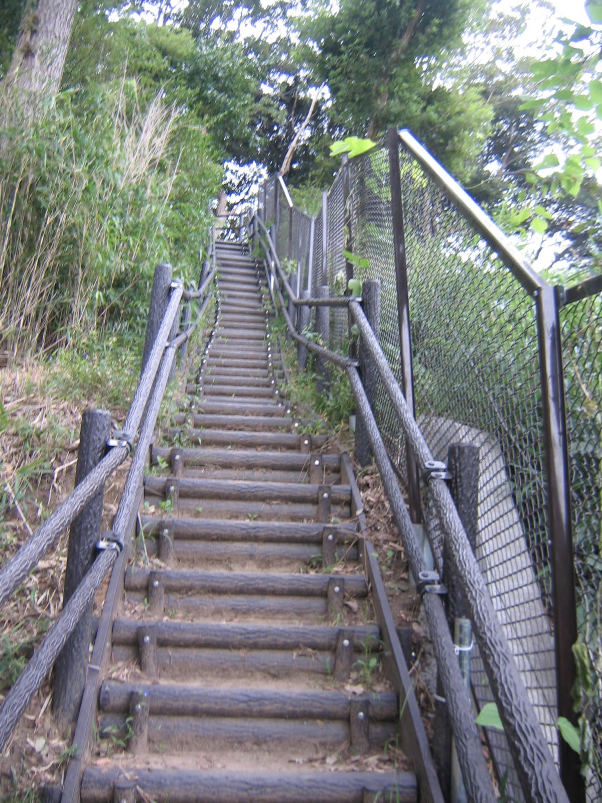
Another Citizen Forest geologically on the crush of tectonic plates is 9.6 ha Araizawa Citizen Forest, opened in 1998. The access to the forest is also from JR Hongodai Station 本郷台駅 of Keihintohoku Line. From the Station, take the road running in front of the Earth Plaza 地球市民かながわプラザ to the south. One block on the left from the Plaza is public (and preppy) Hakuyo HighSchool 柏陽高校. Walk along the campus, and we find Itachi-gawa (いたち川 Weasel River) with promenades for pedestrians on both sides. Turn left here, and proceed till Kamakura Street (鎌倉街道 Prefectural Road #21). We find in front a traffic light called Sakae Ward Office Entrance 栄区役所入口. Cross the Kamakura Street and dive into a small one-way (for cars) street on the left of the traffic light. It’s called Araisawa-gawa Seseragi Ryokudoh 洗井沢川せせらぎ緑道. This street goes into a residential area with new and old houses, and eventually reaches to Kuden-sho Shita Traffic Light 公田小下. On the right along the way, you will eventually notice a large construction and huge banners declaring “Stop the Development!” The site is for National Route 468 (Yokohama South Loop Line), a planned road to connect Route 1 and Yokohama-Yokosuka Highway for lessening the congestion in the downtown Yokohama. (More for this construction, when we go to Kanazawa Citizen Forest 金沢市民の森.)
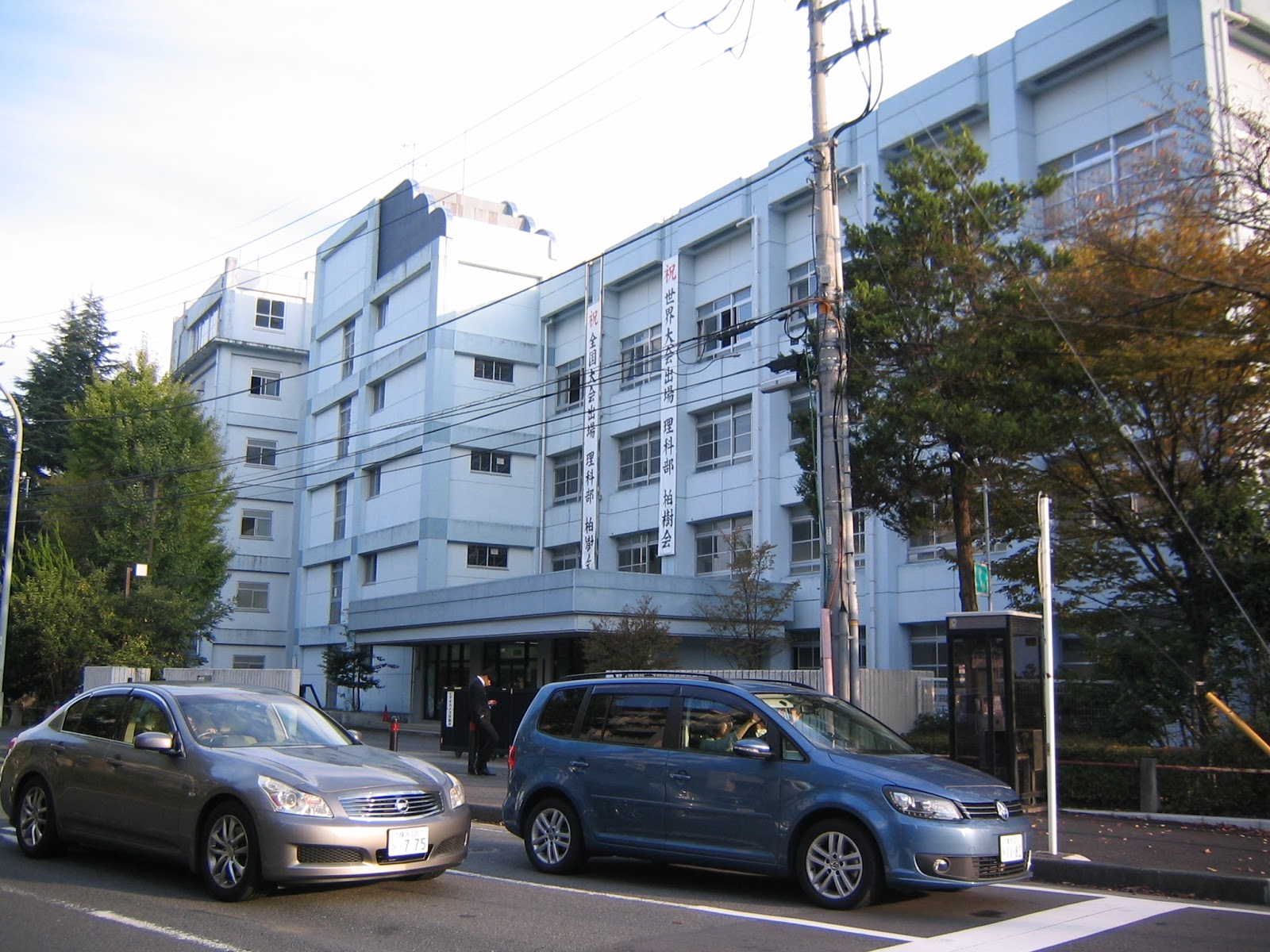 |
| Hakuyo High School. This year, they received the Contents-provider / Nikkei Big-data Award in the JST Data Science Adventure Competition. |
 |
| Promenade for pedestrians along Itachi River |
 |
| Seen from the Hakuyo High School side of Kamakura Street, the entrance to Araisawa-gawa Seseragi Ryokudoh. We just go to the direction of a house with a blue roof over there. |
 |
| A traditional warehouse for a family along Seseragi Ryokudoh. This structure was once a symbol of wealth in a community. |
 |
| Kuden-sho Shita Traffic Light |
We cross the traffic light, and meet a 5-road junction. Let’s choose the right road ahead narrower than another on the left. This way leads us to a cemetery (Yokohama Towa-no-Mori 横浜永久の杜) and an intensive-care nursing home called LifeCourt Sakae (ライフコート栄). Araizawa Forest is the forest surrounding the cemetery and the facility. When we reach to the entrance of the cemetery, turn left to Life Court. Beyond the entrance to the building, the road becomes narrower more, and there appear small vegetable patches along the way. At the end of the way is Gokuraku Hiroba (Paradise Open Space 極楽ひろば) of Araizawa Forest. It takes about 30 minutes stroll from Hongodai Station.
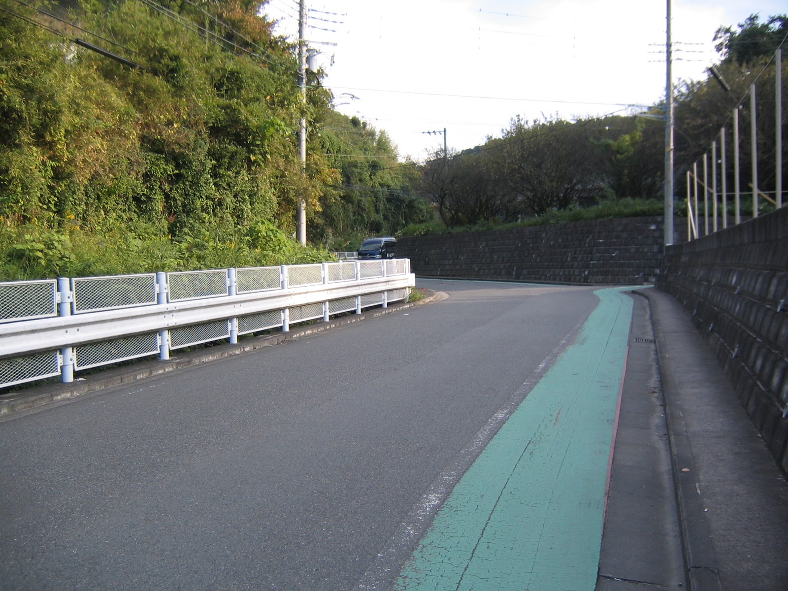 |
| The road to Towa-no-Mori |
 |
| I found this Koshin-zuka (庚申塚) on the way to the Forest, which means this community is ancient, connected to the center of Kamakura City. |
 |
| And, here it is, a sign post discreetly, as usual, indicating “Citizen Forest to the left.” To the right says we can go to Kamaura, on foot. |
 |
| The forest surrounding the cemetery, i.e. Araizawa Forest. |
 |
| Veggies |
 |
| Billboards for Araizawa Forest. The notebook within the glass is a visitor note: you can write down your name here! |
 |
| Toilets for Araizawa Forest |
 |
| Gokuraku Hiroba in mid-October 2015. The volunteers have harvested rice already. They are drying the bounty beneath the net. |
 |
| Entrance to the Forest |
 |
| The notice board for Araizawa Forest |
The characteristics of Araizawa Forest are well summarized in the notice board above: it is a very dynamic forest with combinations of cliffs and valley (Yato) + a view point for the entire Yokohama. The network of about 1k roads within the forest is comprised of two ring roads surrounding the cemetery, connected by 2 points. (Map, here; oh, this one also has the map for Kajigaya Forest.) I have an impression the Forest is well-taken care of by the volunteers. Their home page (here) shows the annual schedule of their activities in detail, and the way to join their activities such as maintenance work and field study. (The contact phone at 045-892-0053 or 045-893-7077. Unfortunately, their web-site clearly says “Japanese only.” Good luck.)
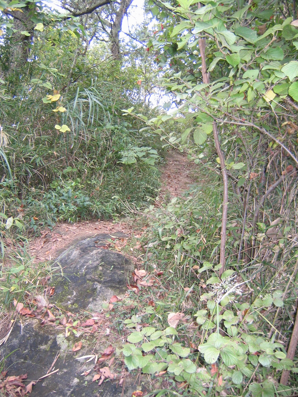
The outer road of the Forest is a ridge way along the boundary between the Cities of Yokohama and Kamakura. Yokohama side is Araizawa Forest, and Kamakura side is Kamakura Public Golf Course (which is not public). When we walk along the ridge way, the contrast between these two environments is astonishing. Kamakura side is a spanking-clean (or very artificial) golf course, and Yokohama side is the forest of large trees with undergrowth. Having said that, both sides of the ridge way are really “cliffs” and the road showed rocks beneath the topsoil here and there, i.e. a typical geological structure of Miura Peninsula. Along the ridge way, there also are two areas where the landlords maintain well-cared vegetable fields. From the ridge way the connecting roads are more like a steep steps or ladders in small zigzags reaching to the road surrounding the cemetery. From the bottom of the valley, we can see the Forest is really on the hardpan with a very shallow top soil. Very near to the foot of the cliff we can find water dribbling from the hardpan here and there.
 |
| Ridge way |
 |
| “They” and “We” along the ridge way |
 |
| Could you figure out both sides of the road are cascading down? |
 |
| On the left is the mark of Kamakura City, and on the right is for Yokohama. |
 |
| One of the vegetable fields along the ridge way |
 |
| The ridge way is connected to a hiking network of Kamakura. |
 |
| A bench in the middle of the slope |
 |
| It’s steep, really. |
 |
| The soil structure of the precipice is clear here. |
 |
| Water is seeping from the crevice. |
The inner “circle” of the road connects Gokuraku Hiroba and Sumiyaki Hiroba (Charcoal Kiln Open Space 炭焼きひろば). Sumiyaki Hiroba has a modern kiln to bake charcoal mainly from quercus serrata, sawtooth oak, and cherry, in less than 24 hours. The traditional way of making charcoal from the forest took about a week. The current way is for those modern-busy volunteers to relay the memory of satoyama life to the next generation. Sumiyaki Hiroba is almost at the end of the valley where the cemetery spreads. The place has a strange charm cottoned by something very warm. (… And you would notice small creatures are jumping around from bough to bough of the tall trees ...) From there, a system of wooden steps bring us to a very steep hiking road within the forest. Almost above the Sumiyaki Hiroba, beyond a tunnel of bamboo grass is Minashiro-yama View Point 皆城山展望台. It has a wooden deck from which we can see the entire Yokohama. Landmark Tower in Minatomirai is very easy to recognize even with thin clouds covering the horizon. I guess in New Year’s days when the air is cold and clean, we can see the skyscrapers around Shinjuku and Tokyo stations. Milvus migrans are flying in our view from Minashiro-yama. The place is close to Tokyo Bay. (And what’s that creature on the bough?)
 |
| Sumiyaki Hiroba |
 |
| Picnic bench and a kiln |
 |
| Viburnum in Sumiyaki Hiroba |
From Minashiro-yama, we take almost continuous wooden
steps, or ladders, falling down to Gokuraku Hiroba. (And we hear the movement
of small creature above our head …) Gokuraku Hiroba is at the bottom of small yato
valley which was before a series of ponds used for water for rice cultivation.
Small rice paddies still remain beyond the Gokuraku Hiroba Entrance, providing
educational and culinary activities for the 5th graders from nearby
elementary schools. Between the rice paddies and the end of series of steps,
are a substantial wetland. The place holds the vegetation now rare in Yokohama.
In October, polygonum thunbergii and impatiens textori are still in bloom.
Along the yato valley runs a small stream receiving water drippings from the
hardpan slope above. During winter this
stream does not receive enough sunshine so that long icicles sprout from the
hardpan. In October, several colonies of mushrooms grow on the bank. In the
middle of a swamp, there are several very well-shaped maple trees. The scenery
would be wonderful when they are tinted … maybe at the end of November? Then,
at the background, we are listening a small chorus of rhacophorus schlegelii,
very Japanese frogs, still in October. Actually, at the end of the marsh and
rice paddies, there is a pond, called Kaeru Ike (Frog Pond) that was hand-dug
by the volunteers for Araizawa Forest in order to provide the habitat for the
frog.
 |
| A bench in the middle of the way between Minashiro-yama and Gokuraku Hiroba |
 |
| Very steep steps |
 |
| The beginning of Gokuraku Hiroba |
 |
| A wooden deck road going through the swamp |
 |
| Well, it is larger than a crevice. |

 |
| Polygonum thunbergii |
 |
| Impatiens textori |
 |
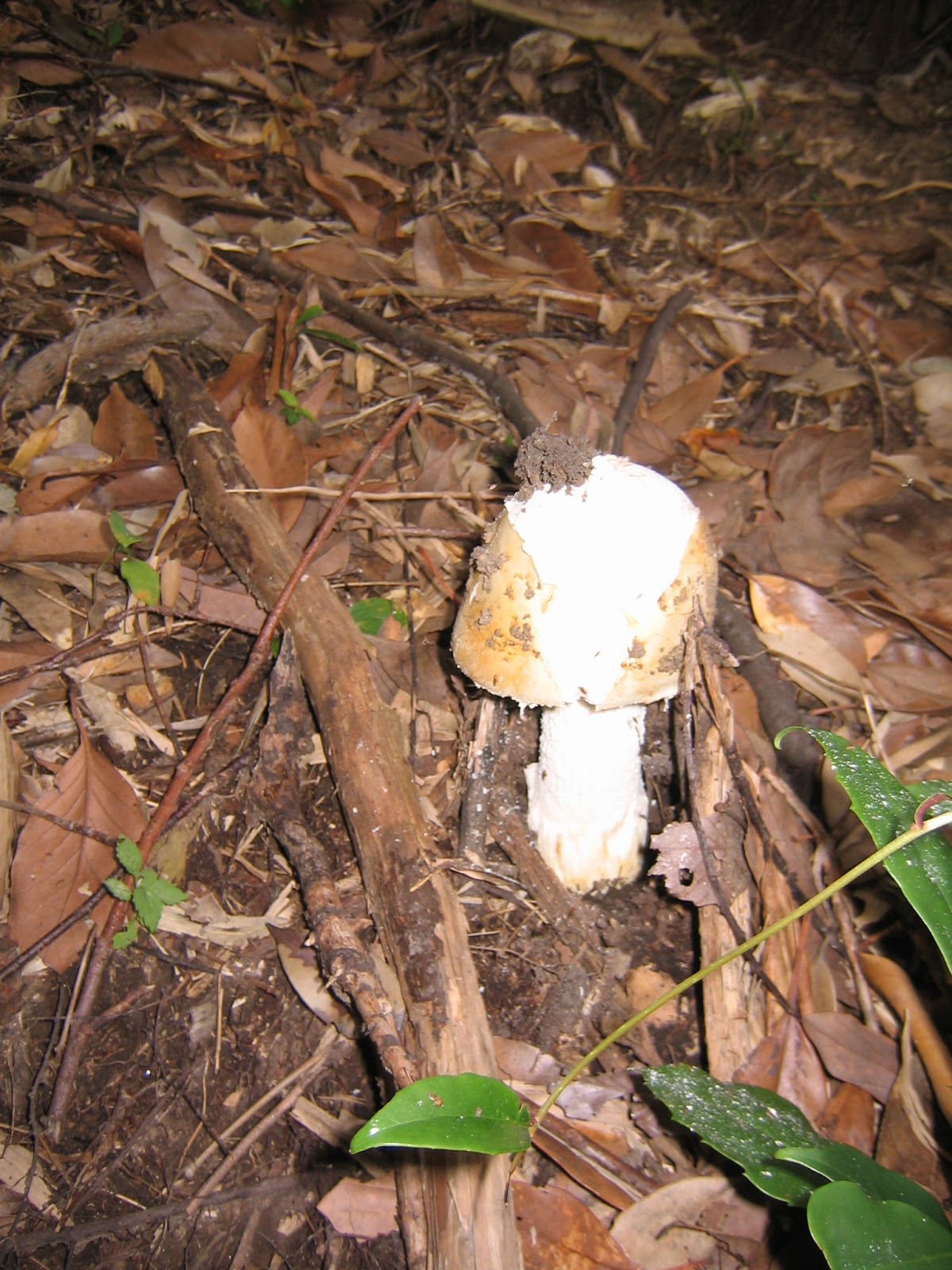
| Edible? Poisonous? |
 |
| Kaeru Ike |
All along the walk in the Forest, we hear rustling and sometimes calling voices. They are from Taiwanese squirrels. The animal is so quick that I could not manage taking a photo of them … They are numerous in the Forest. It is no wonder. Araizawa Forest sits right next to Kamakura City where this cute but invasive foreign creature is causing troubles. (News can be read here.) They are registered as invasive alien species by Invasive Alien Species Act of 2005 that would drive out native and small (i.e. very Japanese) sciums lis. Luckily (or not), south of Yokohama did not have sciums lis from the beginning. The danger of competition is minimum in this respect. I don’t know their impact for the larger environment, though. It is said that they are the descendants of escapees from Samuel Cocking Garden in Enoshima, or from cages of some pet owners in Kamakura. In either case, the ultimate responsibility of them living in Araizawa Forest is on human beings. Araizawa Forest is dynamic and rich place in both animal and vegetable. And the current secret master could be some foreigner forced to move from their original habitat. How will the future of the Forest turn out?
 |
If you find a problem in the Park,
please make a contact with
Office for the Park Greeneries in the
South 南部公園緑地事務所
Yokohama Municipal Government
Creative Environment Policy Bureau 横浜市環境創造局
Phone: 045-831-8484 (I guess in
Japanese only)
FAX: 045-831-9389 (I hope there is somebody who can
read English …)