
There are several routes to the peak of Mt. Jitango ジタンゴ山. Come to think of it, the place was in community use. Several routes would have been developed naturally. Among them, the longest is a kind of shortcut connecting Yadoriki Community to Hadano Pass 秦野峠 and to Lake Tanzawa 丹沢湖. It’s about 10 hours walk in total for us … it would be a route shorter for yester-century’s mountain community. Let’s take the other itinerary for our leisurely day-hiking. It goes like this for a very slow walk:
0:00 Yadoriki Ohtera-bashi Bridge 大寺橋
1:00 The end of a paved forestry road
1:20 The peak of Mt. Jitango (ASL 757.9m)
1:50 Meeting paved Miyachi Forestry Road 宮地林道
2:20 Entering the trekking road to Mt. Miyachi 宮地山
2:50 The peak of Mt. Miyachi (ASL 512m)
3:50 Tashiro Mukai Bus Stop 田代向
When we include short rests and lunch time, it would be about 5-5:30 walk. Not bad for a day hike. Another good thing about this course is there is no cliff or place needing chains or ropes. Of course, steep climbs/descends are there as we’re in Tanzawa 丹沢, but the route would be OK as long as you’re prepared enough water, food, and equipment for emergency (for rain, etc.), in addition to, needless to say, good shoes. 😉

The start is a bridge next to Yadoriki Bus Stop 寄. The commuter bus service to the terminal stop at Yadoriki is from Odakyu Shin-Matsuda Station 小田急新松田駅 (: timetable for the bus services is here). After about half an hour bus ride, we’re at the terminal Yadoriki Stop. When you arrive there, you’ll find a bridge over Nakatsu River 中津川 almost in front of you. That’s Ohtera-bashi Bridge. Please cross it and go straight into Ohtera Community 大寺 of Yadoriki. “Yadoriki” was established in 1876 as one administrative unit made of formerly independent 7 villages of the area. Ohtera Community was one of such villages. Thinking of the location, I guess the village had a large say in management of the field of sedges at the top of Mt. Jitango. Just follow the meandering paved commuter road going through the housings, tea plantations and veggie fields. Here and there you’ll find a smaller paved way, but don’t deviate. Always choose (relatively) wider paved road which is a community forestry road. After both sides of the road becoming simply a forest, there will be a signpost saying, “This way: hiking road to Mt. Jitango.” Er, yeah, you can choose that route which will in the end join our route today. I recommend not entering it but proceeding on the paved road. Reason? Yeah, the route suggested by the post is a standard hiking road, but both sides of this direction are artificially created coniferous forests which could be … boring.
 |
| Bridge and Bus Stop |
 |
| Beyond the bridge is slightly going up. |
 |
| This way to Mt. Jitango through tea plantations. |
 |
| You see? Don’t turn right here, but go straight! |
 |
| The
condition of the road eventually becomes like this. Never mind! |
Interestingly, the paved forestry road runs in the mixed forest of afforested conifers and more natural broad-leaved trees. Especially when you’re interested in admiring the variety of broad-leaved vegetation with more diversity in forest floors, this is the way you will choose. Besides, it’s a paved road with very low car traffic, albeit the maintenance of it might be almost forgotten. It could be easier for casual hikers to enjoy Tanzawa’s forest, just like via Mikurube Forestry Road 三廻部林道 (; my posts on November 26 and December 3, 2021). The end of the paved road is an open space where the road from the first signpost “to Mt. Jitango” joins with the forestry road. A laminated direction is pasted on one of the trees, saying “Mt. Jitango, this way.” Simply follow the direction for a narrower unpaved trekking road. Soon our itinerary becomes a real climb where you may feel out of breath. The environment around the route is a mixed forest with afforested confers and natural broad-leaved trees. After less than 30 minutes ascend, we’ll see a ridge before us and in no time the garden of Enkianthus perulatus begins. Welcome to the peak of Mt. Jitango!
 |
| Spotted
Bellflowers we meet along this route is Campanula punctata Lam. var. hondoensis (Kitam.) Ohwi, an endemic variant of Campanula punctata. Just like straight hairs of ladies in ancient pictures of Japan, they have straight calyx lobes without curly appendage as their cousins of Campanula punctata in more lower altitudes. |
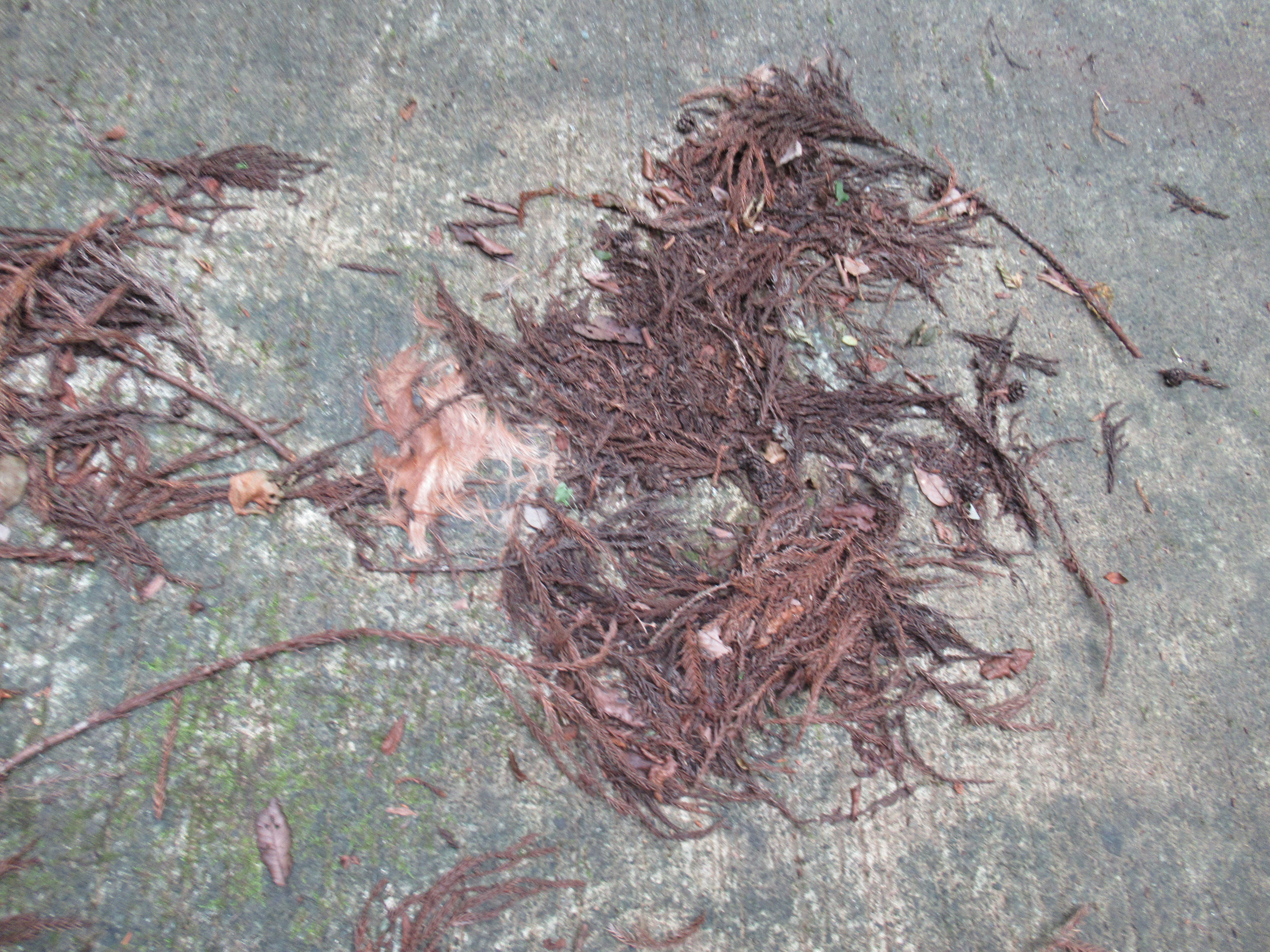 |
| We found fallen hairs of deer on the road. |
 |
| I guess in autumn, the
leaves here have beautiful red and yellow colors that would make a good contrast with the evergreen of conifers background. |
 |
| The trekking road departed from our forestry road will join … |
 |
| here in the end of paved
road with a wider space. The bottom of the picture is the direction we take. |
 |
| The laminated paper says “Mt. Jitango this way.” |
 |
| The road becomes like this. |
 |
| Mixtures of conifers and broad-leaved trees |
 |
| Almost there … |
 |
| Welcome to the garden of Enkianthus perulatus! |
From the peak to the south, we can see the spread of Odawara City 小田原市, Enoshima Island 江の島, Miura Peninsula 三浦半島, and if weather permits Boso Peninsula 房総半島 beyond Sagmi Bay 相模湾. The island floating in the middle of the Pacific Ocean is Ohshima Island 大島. To the west, we can identify the towns and cities on the slope of Mt. Fuji including Gotemba City 御殿場市. If it’s fine weather Mt. Fuji 富士山 is over there. The peak of Mt. Jitango is a relaxing open space that is good for a long coffee break or lunch. In July, we started our walk at 9:00 from Yadoriki Bust terminal and arrived there before 10:30, a bit early for lunch. So, we had a long tea break in a misty rain but open sky. From there in today’s itinerary, we proceed following the signpost saying “To Hadano Pass.” Don’t be intimidated by this sign. Follow this direction. After about 20 minutes of rapid descending, we’ll meet another forestry road named Miyachi Forestry Road. This is the junction to Hadano Pass or to Mt. Miyachi. Today, we take the descending direction of Mt. Miyachi. Oh, if you’re interested in Hadano Pass, it’s about 2 hours climb from here with a point after the paved road where we had to ask chains to go over a rocky cliff. You need stamina and proper preparation, I tell you.
 |
| The peak of Mt. Jitango |
 |
| Sagami
Bay from Mt. Jitango. Could you figure out Enoshima Island over there? |
 |
| To the direction of Gotemba City |
 |
| The top of Mt. Jitango is surrounded by the garden like this. |
 |
| Take the route pointed to “Forestry Road / Ameyama Pass.” |
 |
| It’s really a rapid down. |
 |
| Here we meet another forestry road. The junction. |
 |
| This is to Hadano Pass, but |
 |
| Today, we take this opposite descending direction. |
As of July 2023, the Miyachi Forestry Road looked like a recently renovated road. It could be a relatively easy route. Both sides are afforested conifers, but the forest floor here could have interesting features including the species from orchid family. Let’s enjoy the environment nature can provide, which is a luxury available only for an itinerary with time to spare! Eventually we’ll come to a place with a space on our left where the paved forestry road makes a big curve to the right. At the end of an open space there is another trekking road descending. It’s the beginning to the way to Mt. Miyachi. Let’s dive in. Oh, we had lunch there. It’s a matter of preference, but the peak of Mt. Miyachi does not have a view. Here in the open space, we can enjoy the view to Mt. Takamatsu 高松山 (; my posts on January 7 and 14, 2022). Next week, I continue from here to returning to Yadoriki Community.
 |
| The road is well maintained this time. |
 |
| Large broad-leaved trees also adorned the forestry road. |
 |
| An open space and the beginning of a trekking road to Mt. Miyachi |
 |
| A view where we had lunch. It’s the slope of Mt. Takamatsu in front of us. |
 |
| Cyrtosia septentrionalis |
If you find environmental issues in Kanagawa Prefecture, please make a contact with Kanagawa Natural Environment Conservation Center 神奈川県自然環境保全センター
657 Nanasawa, Atsugi City, 243-0121
〒243-0121 厚木市七沢657
Phone: 046-248-0323
You can send an enquiry to them by clicking the bottom line of their homepage at http://www.pref.kanagawa.jp/div/1644/


